


![]()
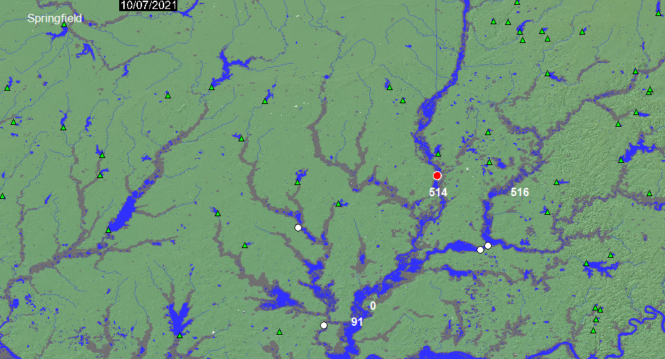
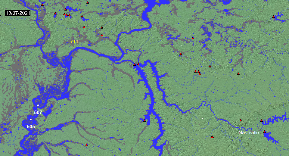
Top Layer (Blue): All current surface water mapped by MODIS at 250 m resolution (updated daily)
Middle layer (Light Blue Gray): Mean Annual Flood using MODIS time series data
Bottom Layer (Dark Gray): Maximum Observed Flooding (MODIS and all other sensors, 1993 to present)
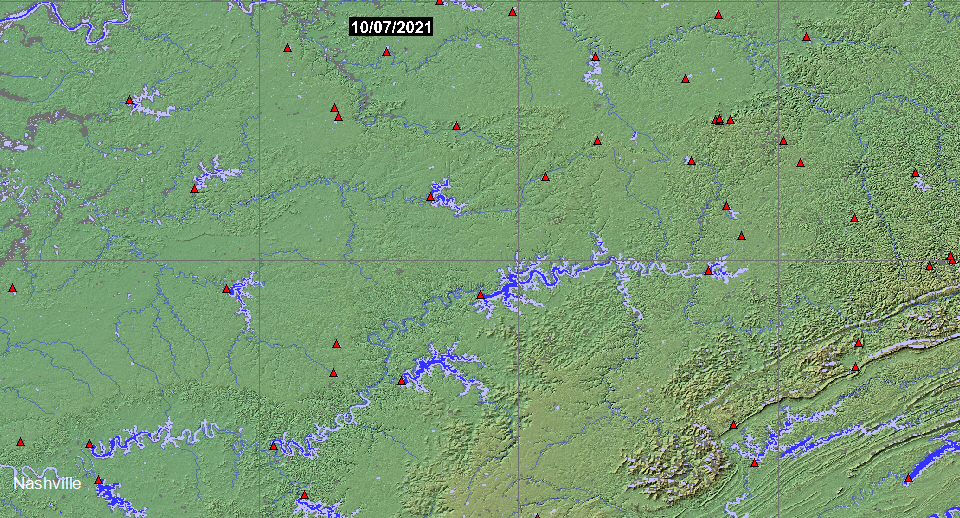
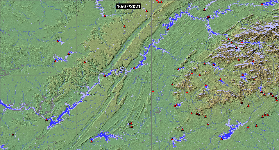
Red triangles: Dams. Yellow numbers: Ramsar international wetlands.
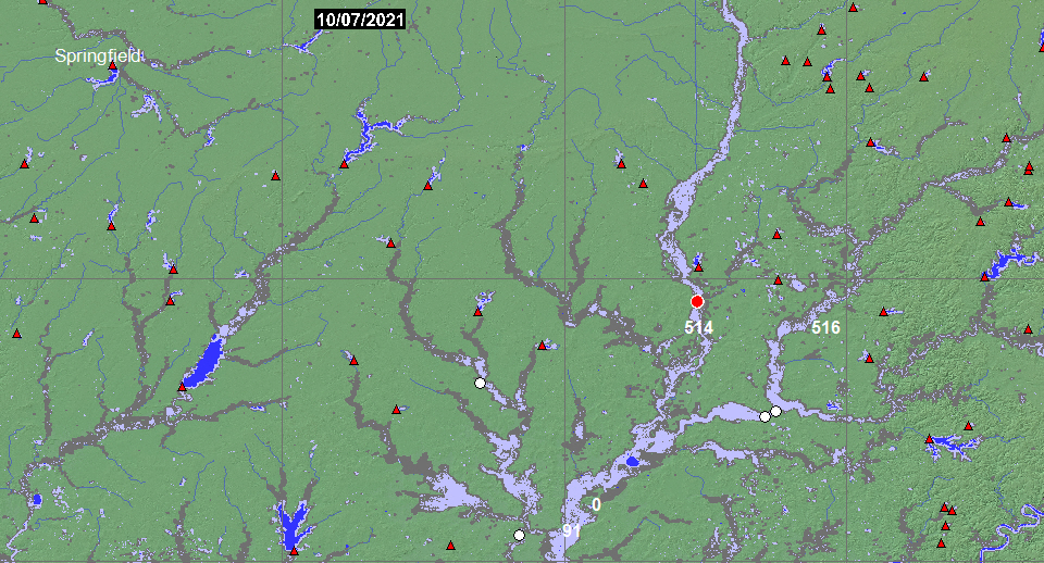
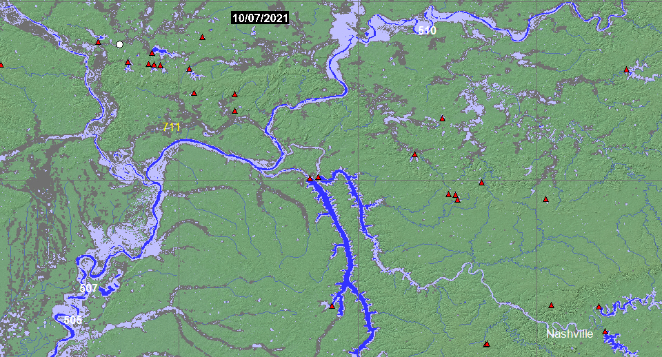


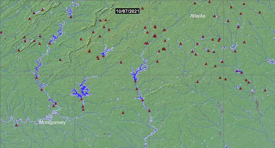


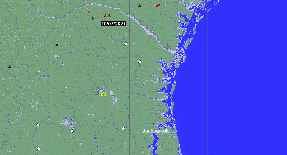
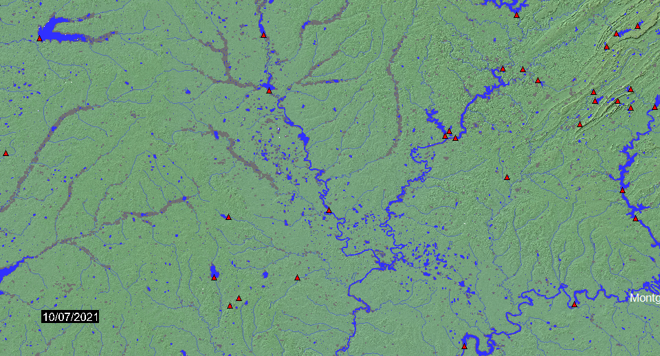
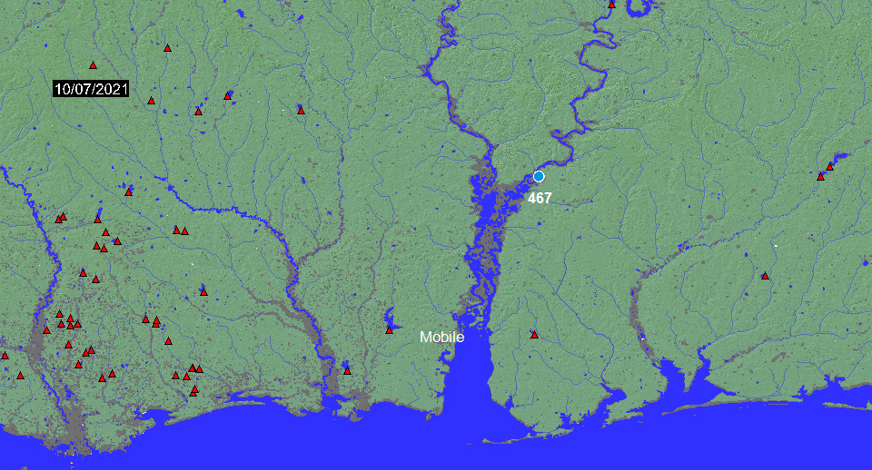
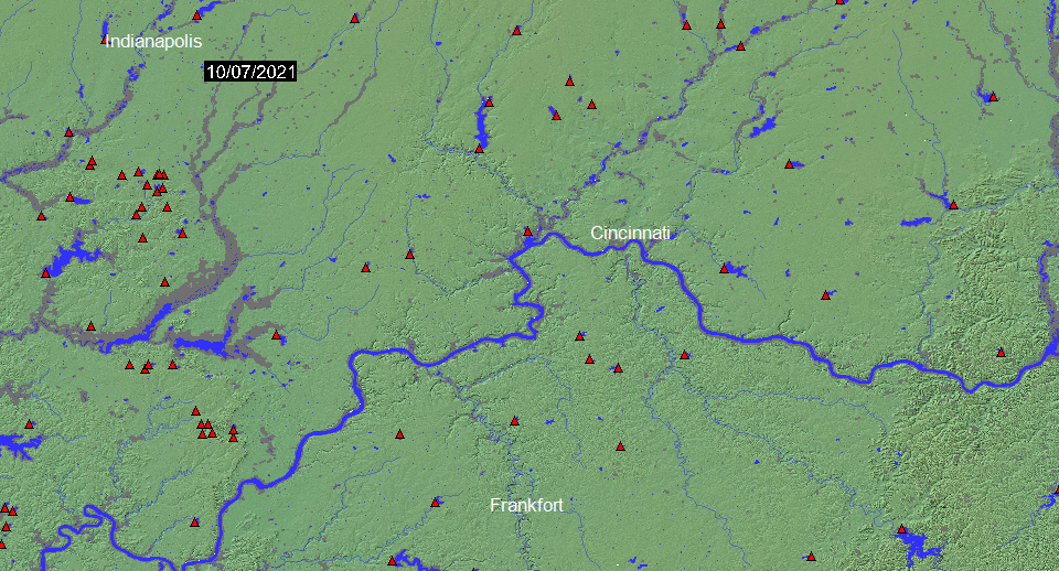
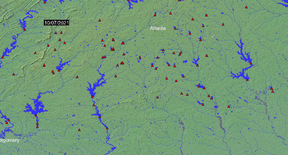
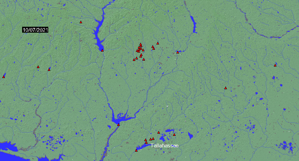
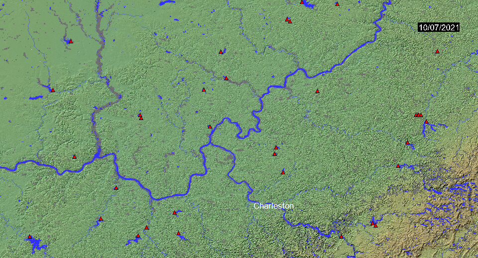
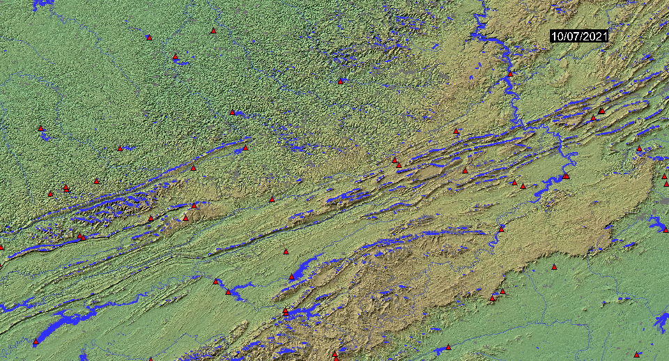
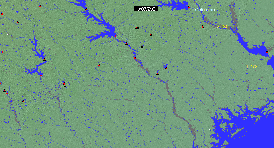
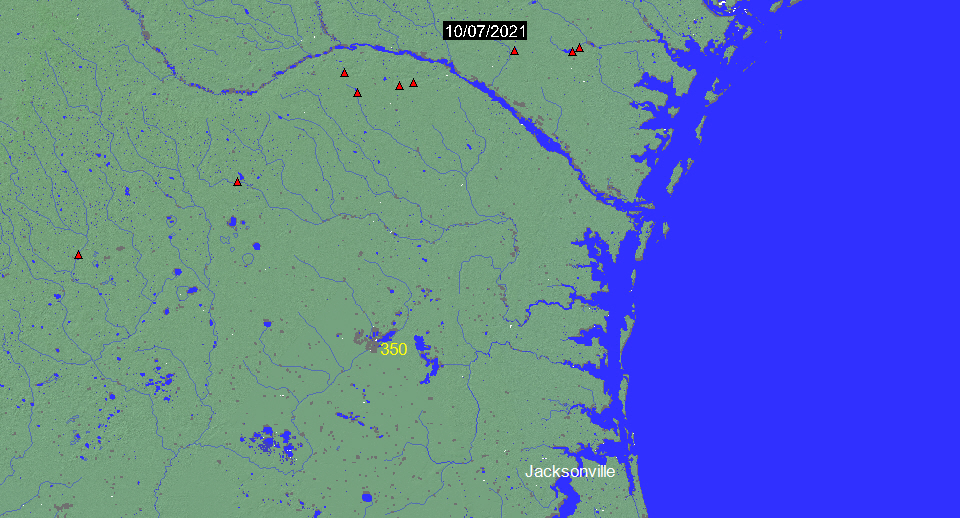
Top Layer (Blue): Mean Annual Flood
Middle Layer (White): Presently-observed flooding greater than the mean annual flood (updated daily)
Bottom Layer (Dark Gray): Maximum Observed Flooding (MODIS and all other sensors, 1993-present)
Red triangles: dams. Yellow numbers: Ramsar international wetlands.


Current surface water or Current flooding is a rolling forward (updated daily) two week accumulation of MODIS-detected surface water. It is calculated at the Flood Observatory using information from the NASA Near Real Time Global Flood Mapping Initiative (NASA LANCE) and is at a spatial resolution of 250 m. In the Current surface water displays, blue is all water being observed. In the Current flooding displays, white shows unusual flooding (water exceeding the Mean Annual Flood).
Mean Annual Flood is surface water detected in four out of five years by the same MODIS sensors (2012-2016). Data from the Global Surface Water Explorer at 30 m resolution (the "extent" layer) are also included. In most cases, this Landsat-based survey imaged only frequent high water. Shadows may cause errors in rugged topography.
Maximum observed flooding is a composite of water mapped by DFO since 1993 using a variety of sensors and at spatial resolutions ranging from 10 m to 250 m. This information includes daily MODIS water detection from the near real time flood processor since 2012. This layer is updated yearly. See also flood event pages, and the DFO Web Map Server (to import data, or create different views). Dam locations are from Mulligan, M. Saenz-Cruz , L., van Soesbergen, A., Smith,V.T. and Zurita,L (2009), Global dams database and geowiki. Version 1. http://geodata.policysupport.org/dams. Ramsar international wetlands are listed here.
This web site and associated data and graphics are protected by United States copyright laws and are not in the public domain..
(counting since December 28, 2020)