 |

Detailed Locations:
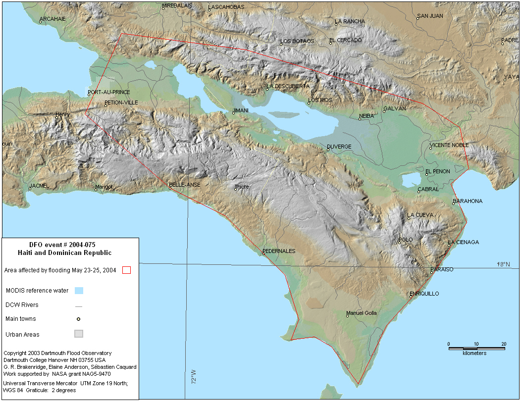
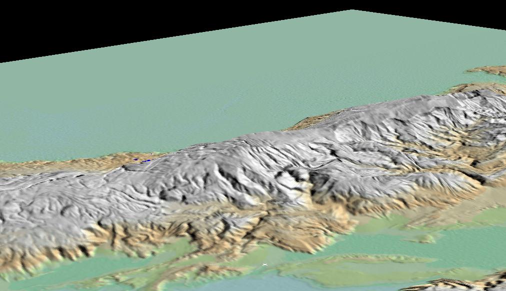
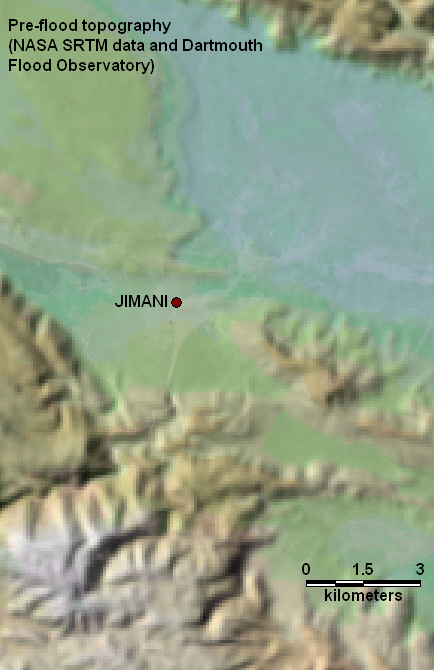
Dominican Republic - Jimani (white "x" in foreground, above),
Malpaso.
Haiti - Jacmel, Fond Verrette, Mopou, Grand Gosier.
Northern Puerto Rico - San Juan area. Carolina, Loiza
Rivers:
Dominican Republic-Soleil
Comments:
At least 502 killed and hundreds missing in Haiti and the Dominican Republic
after 10 days of heavy rain caused floods and landslides. About 450 homes
flooded throughout the Dominican Republic. "floods were some of the
deadliest in a decade"
Widespread flooding in northern Puerto Rico
Images: NASA ASTER images, 15 m resolution, false color composites, before and after. Also SRTM shaded relief map, illustrating pre-flood topography.
