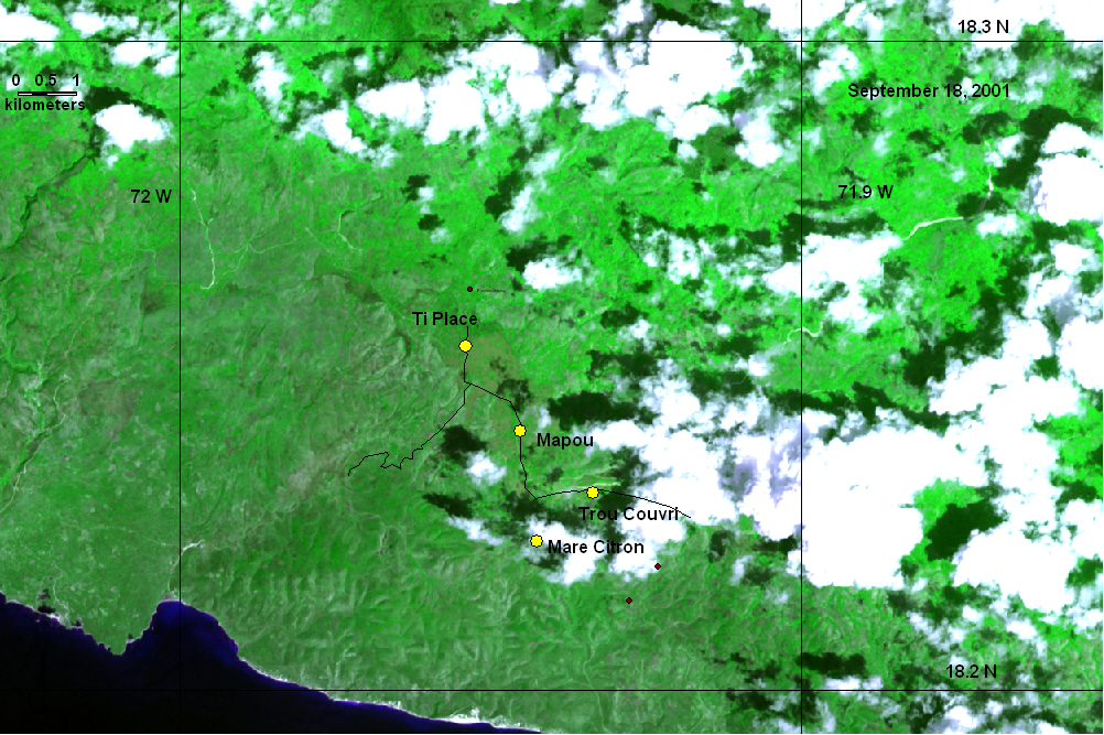
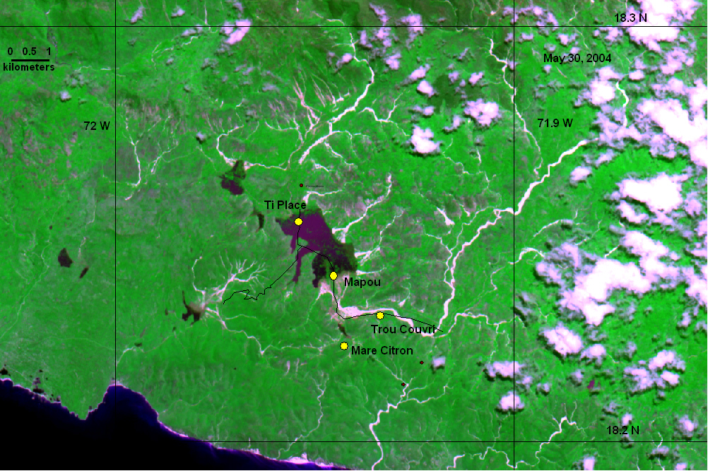
Part 2: Mapou Region (Sud Est) flooding, east of Belle Anse, Haiti
Pre-flood NASA ASTER image, false color composite, 15 m resolution.
Post-flood NASA ASTER image, false color composite, 15 m resolution
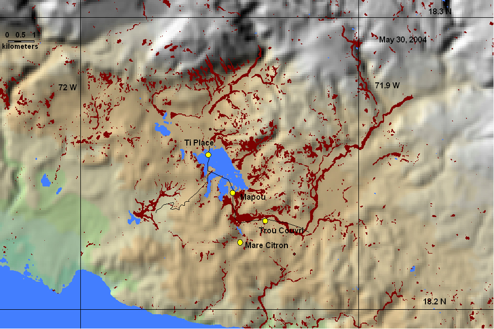
Post-flood map based on classification of NASA ASTER image, May 30, 2004. Blue is water, brown is new bare ground or debris flow. Topography is from NASA Shuttle Radar Topography Mission.
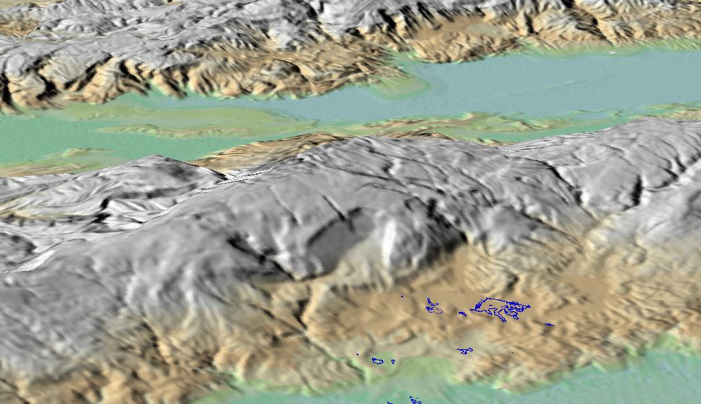
Perspective view of terrain surrounding Mapou and other flooded areas. Blue outline is filled blue in map above.