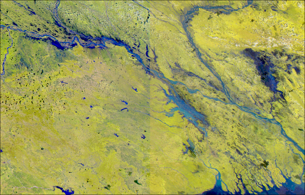
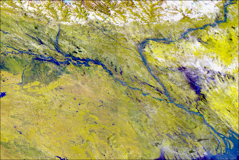
Index of DFO images or image maps:
1. Inundation map based on AVHRR 4km data from September 24, 2000 with AVHRR image
2. DFO - Ten Degree Flood Map E80N30
3. Modis 8-day 500m surface reflectance composite image from Sep 22-28, 2000
4. Modis 8-day 500m surface reflectance composite image from Sep 5-13, 2000