
 |
|
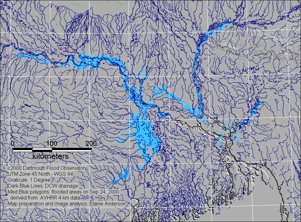
Inundation map based on AVHRR 4 km data from September 24, 2000.
|
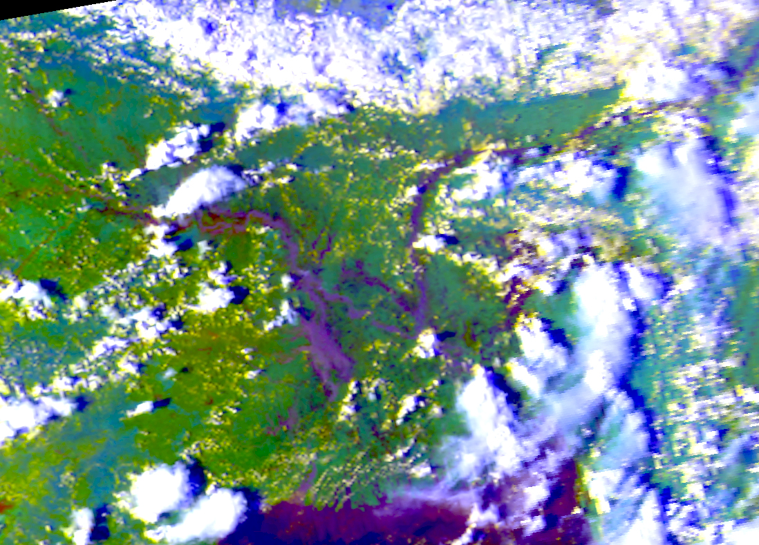 |
| Geocorrected AVHRR 4 km image from September 24, 2000 showing West Bengal, India and Bangladesh. Bands 1,2,3 in R,G,B. |
|
|
Inundation map based on AVHRR 4 km data from September 24, 2000.
|
| |
| Geocorrected AVHRR 4 km image from September 24, 2000 showing West Bengal, India and Bangladesh. Bands 1,2,3 in R,G,B. |