
 |
||||
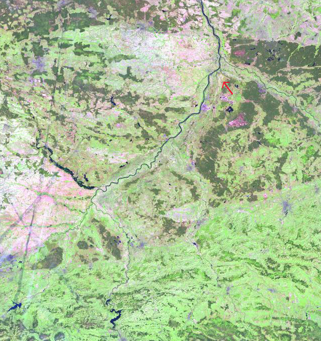
| Landsat 7 browse image of the Vistula River on May 3, 2001. The Vistula River runs SW to NE in this image, it is joined by several of its larger tributaries: the San (flowing NW) in the upper right, the Wistoka (flowing NW) in the center, and the Nida (flowing SE) and the Dunajec (flowing NW) in the lower left. The red arrow, above the confluence with the San River, marks the flooded area that appears in the two AVHRR images below. | ||||
|