 |
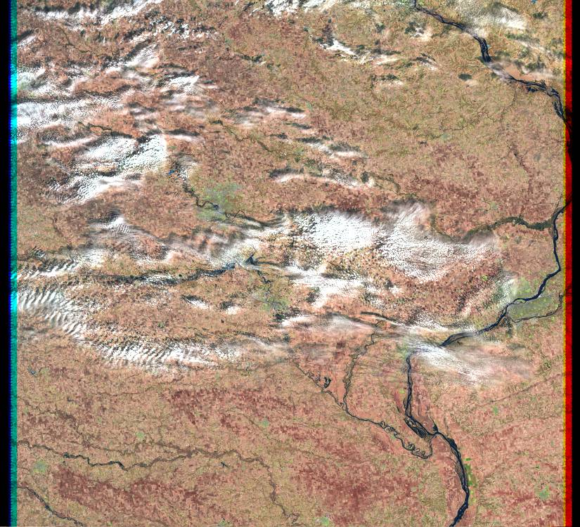
| Landsat browse image from April 2, 2001 showing the Davenport area of eastern Iowa. (path 25 row 31) |
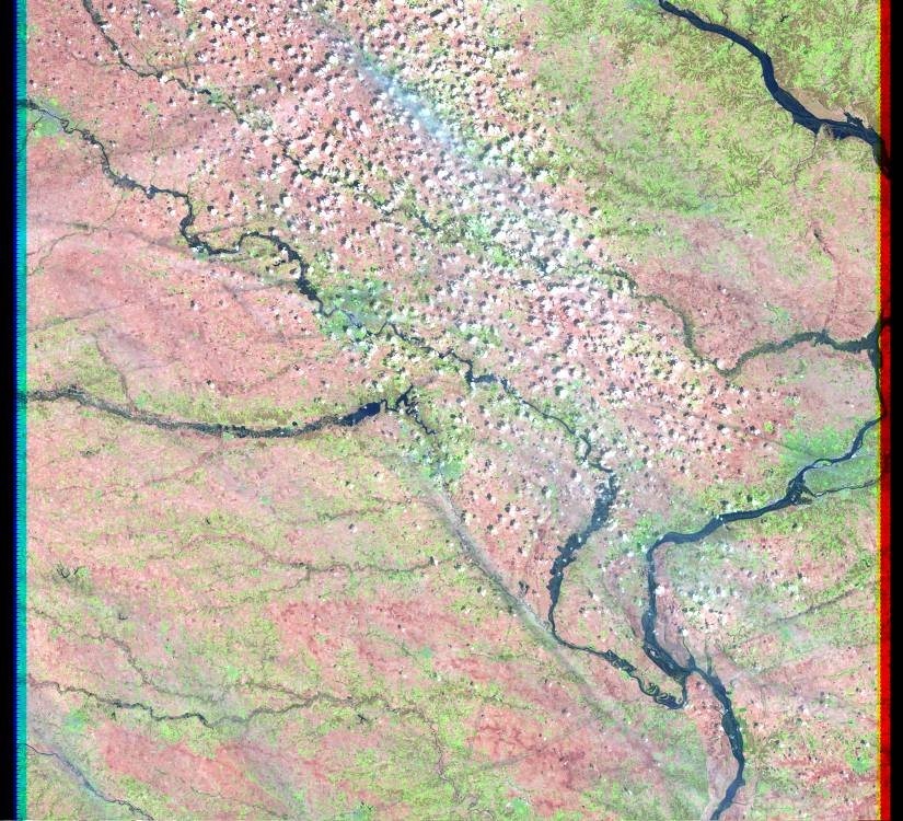 |
| Landsat browse image from April 18, 2001 showing the Davenport area of eastern Iowa. (path 25 row 31) |
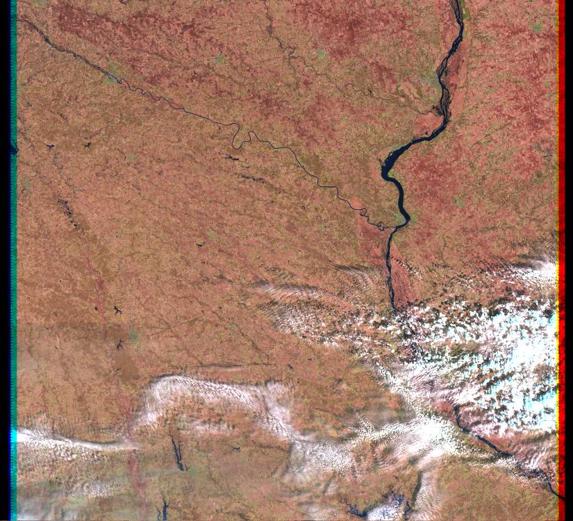 |
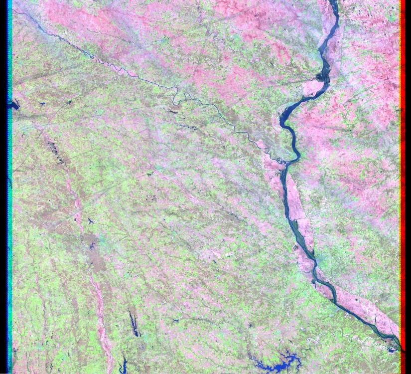
| Landsat browse image from April 2, 2001 showing the Keokuk area of Iowa and Missouri. (path 25 row 32) |
 |
| Landsat browse image from April 18, 2001 showing the Keokuk area of Iowa and Missouri. (path 25 row 32) |