
 |
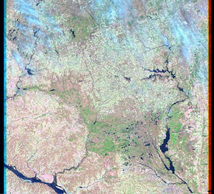
| Landsat browse image from March 17, 2001 showing the LaCrosse area of Wisconsin. (path 25 row 29) |
 |
| Landsat browse image from April 18, 2001 showing the LaCrosse area of Wisconsin. (path 25 row 29) |
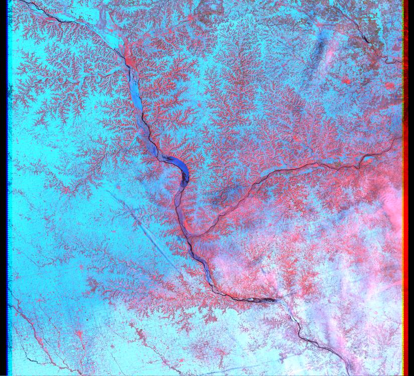 |
| Landsat browse image from March 17, 2001 showing the confluence of the Mississippi and Wisconsin rivers. (path 25 row 30) |
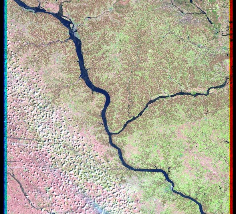 |
| Landsat browse image from April 18, 2001 showing the confluence of the Mississippi and Wisconsin rivers. (path 25 row 30) |