
 |
|
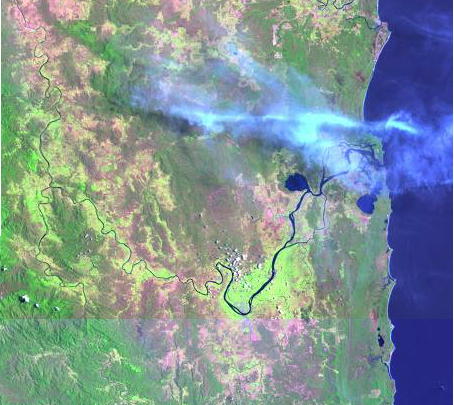
Landsat 7 Browse Image composite of the Clarence River before flood events DFO 2001-010 and DFO 2001-021. Top image from Jan 12 2001, bottom image from Dec 11, 2000. |
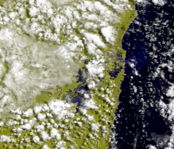 |
| Geocorrected Modis 250 Image of the Clarence River in New South Wales, Australia from Mar 16, 2001. Bands 2,2,1 in R,G,B. |
 |
|
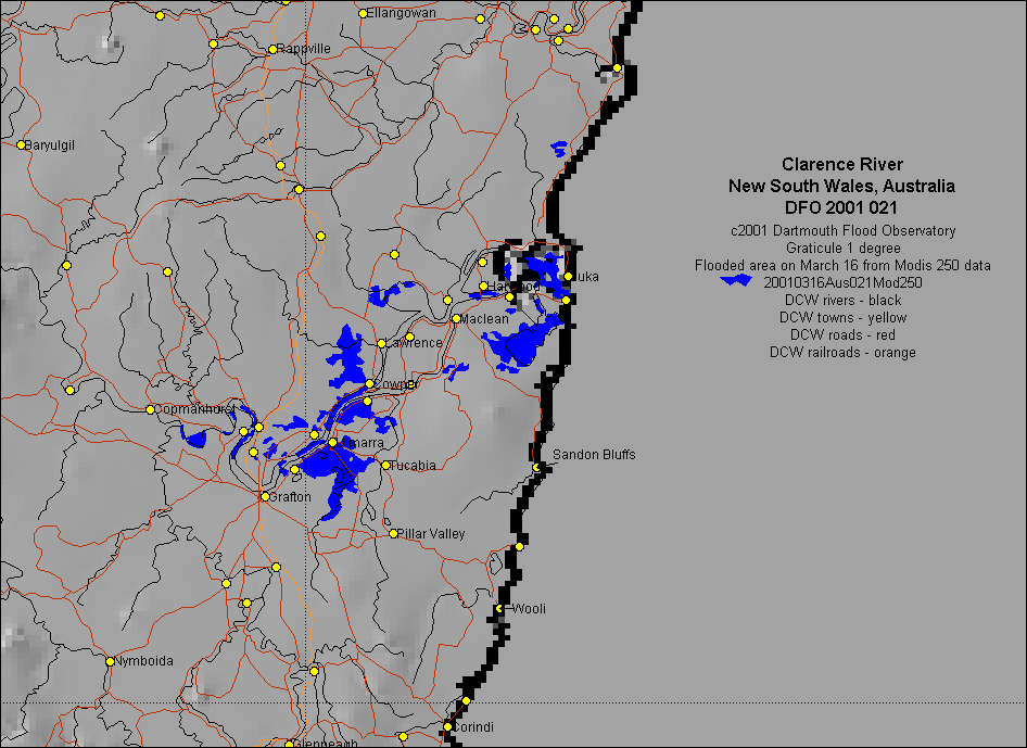
Inundation map based upon Modis 250 data Download GIS inundation vectors: 20010316Aus021Mod250.mif |