 |
||
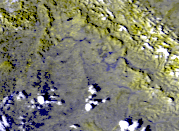
| Composite of Landsat 7 Browse Images of the Upper Tisza River; both images from Jan 20, 2001. | ||
|
||
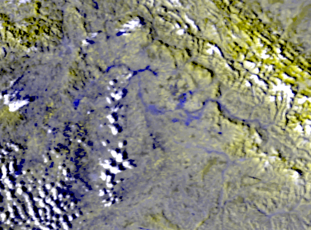
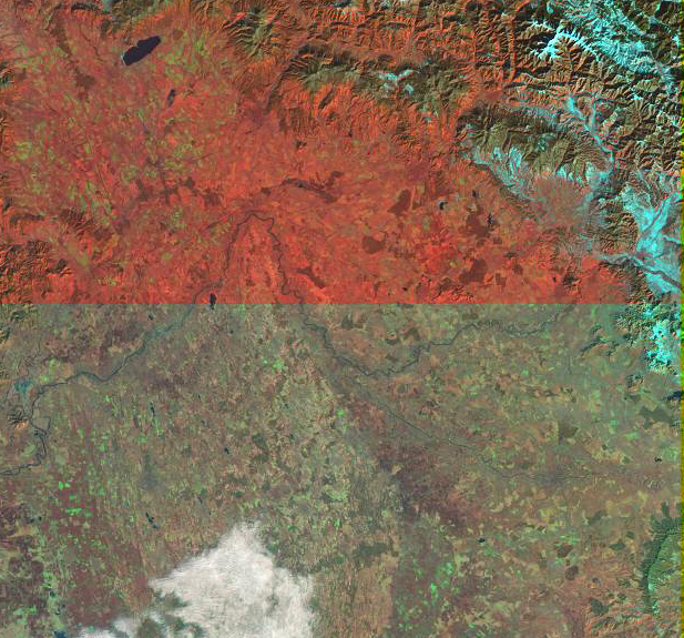
| Geocorrected AVHRR Images of the Upper Tisza River from Mar 6 (left), and March 7 (right) 2001. Bands 2,2,1 in R,G,B. | ||
 |
||
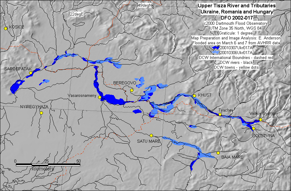
| Inundation map of the Upper Tisza River based upon AVHRR data. |