
 |
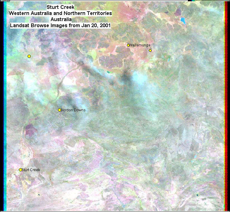
| Landsat 7 Browse Image composite of the Sturt Creek area before flood event DFO 2001-014. |
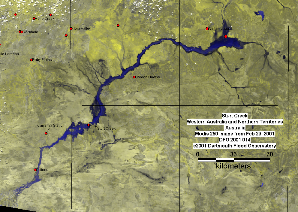 |
| Geocorrected Modis 250 Image of the Sturt Creek area from Feb 23, 2001. Bands 2,2,1 in R,G,B. |
 |
|
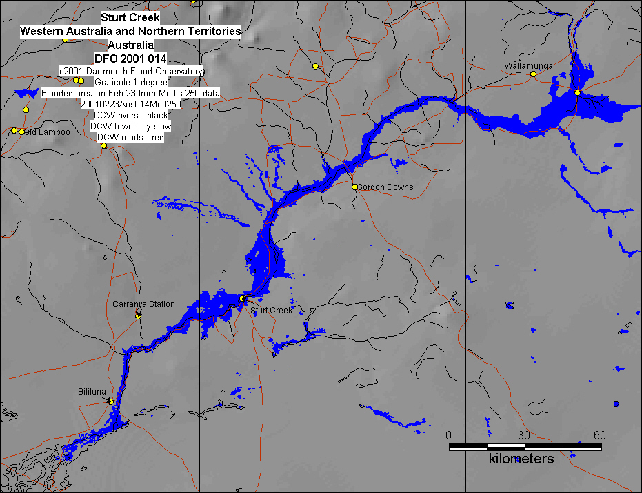
Inundation map based upon Modis 250 data Download GIS inundation vectors: 20010223Aus014Mod250ed.MIF |