
 |
|
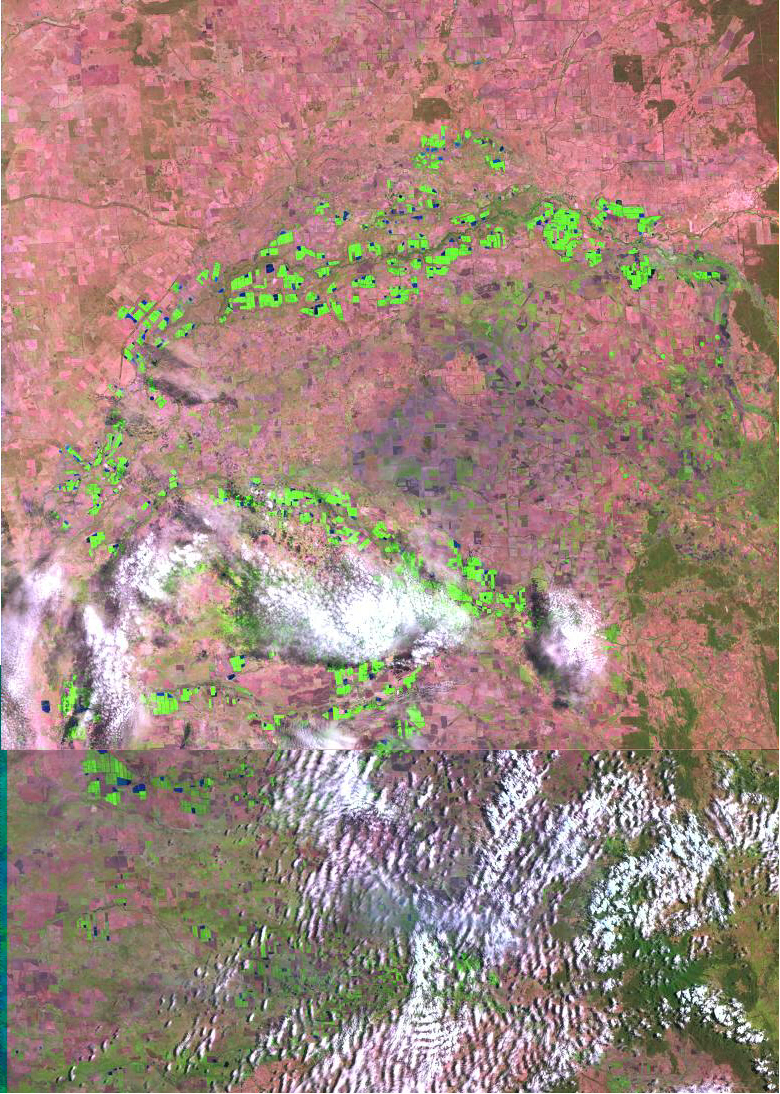
ABOVE - Landsat 7 Browse Image composite of the Macintyre
River and tributaries before flood event DFO 2001-010. |
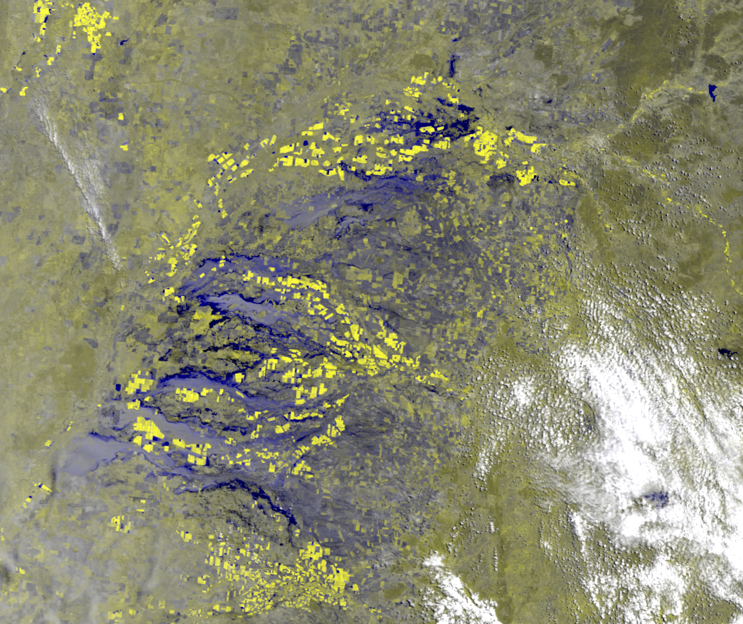 |
| ABOVE - Geocorrected Modis 250 Image of the Macintyre River and Tributaries in the Moree Plains of New South Wales, Australia from Feb 5, 2001. Bands 2,2,1 in R,G,B. |
 |
|
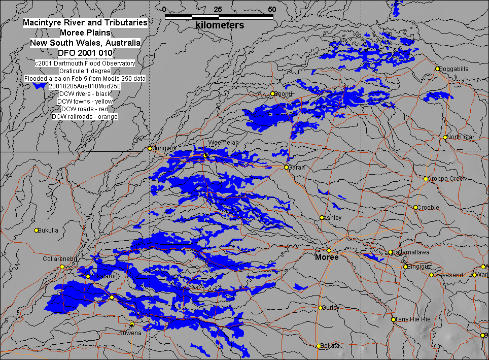
Inundation map based upon Modis 250 data |