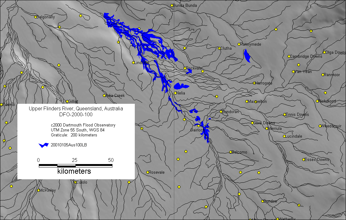
DFO-2000-100 Northwest Queensland, Australia
Landsat7 Browse Image Series and Inundation Map of Upper Flinders River
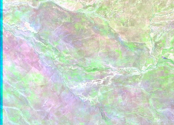
December 4, 2000
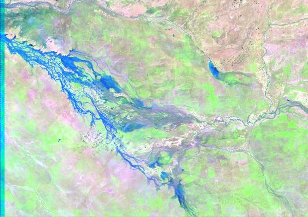
January 5, 2001
Inundation Map based on Landsat7 Browse image from January 5, 2001
Map preparation and image analysis: E Anderson
DFO Homepage