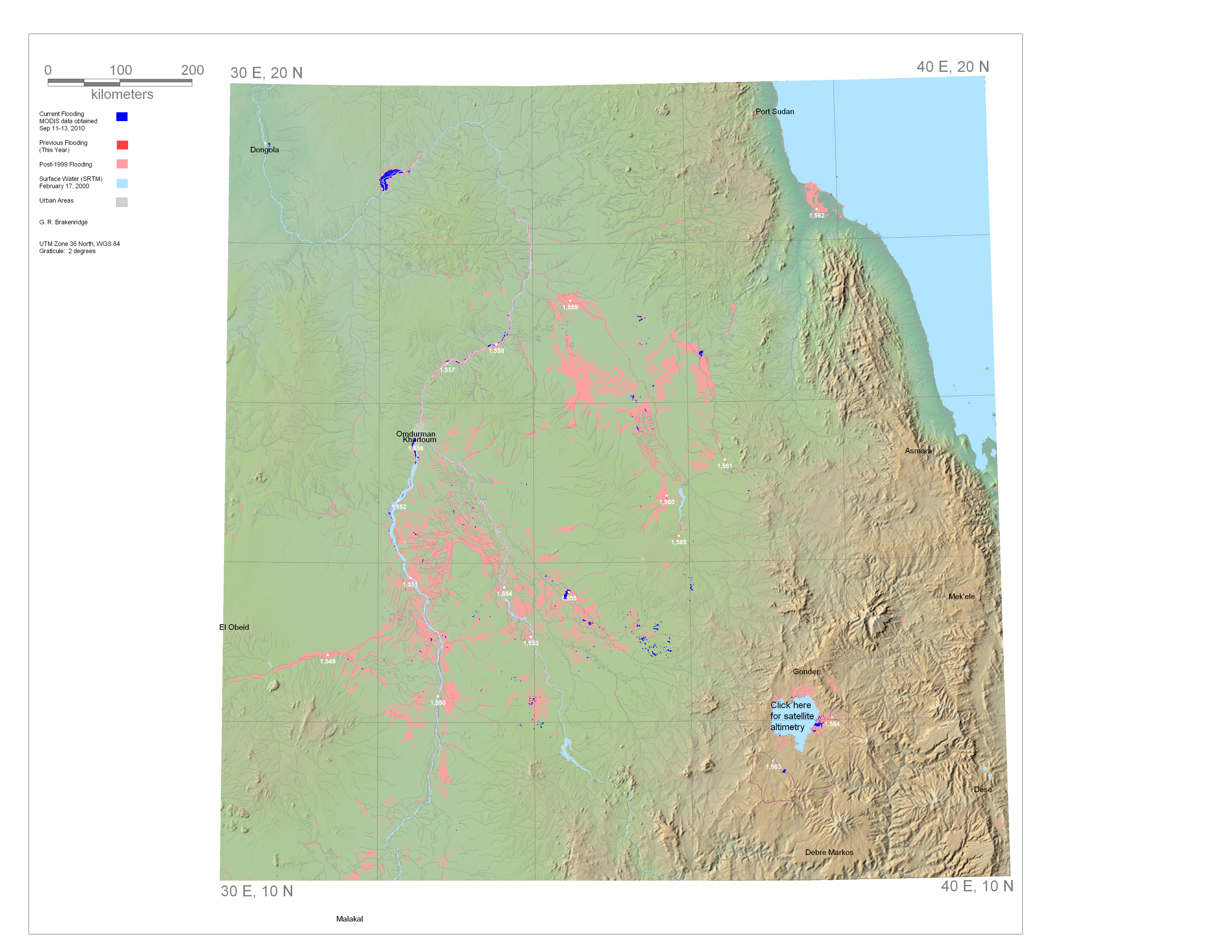
Current and Past Flooding, E30N20
Dark Blue is current flooding (past 7 days)
Light Blue is permanent surface water.
Medium red is land flooded earlier this year..
Light red is mapped flooding, 2002 to January 1 of this year.
Click on the white dots for estimated river discharge, 2002-present.
Rapid Response Inundation Maps for E30N20
Powerpoint record of this display
