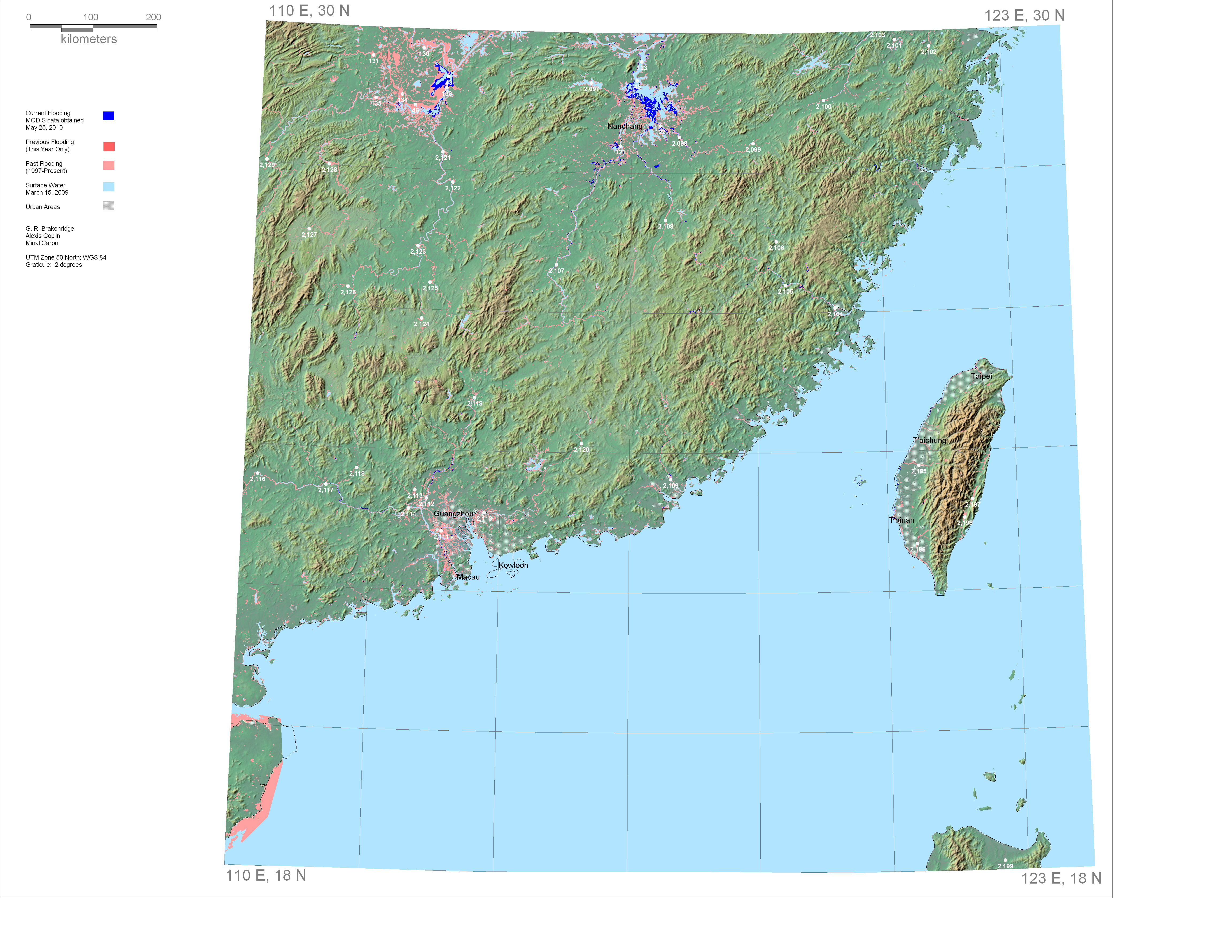
Current and Past Flooding, E110N30
Also see Drought and Ice Cover, E110N30
Dark Blue is current flooding.
Light Blue is permanent surface water.
Medium red is land flooded earlier this year.
Light red is mapped flooding, 1997 to January 1 of this year.
Click on the white dots for estimated river discharge, 2002-present.
Rapid Response Inundation Maps for E110N30
Powerpoint record of this display
