| Below are two Modis
250 images specially processed to show seasonal flooding along
the Upper Zambezi River in Western Zambia and the Caprivi Strip
area of Namibia. The first image compares surface water changes
between Jan 9 and March 5, 2001, while the second image shows
changes between March 5 and March 30, 2001. In both images new
water from the more recent date shows up in red, whereas persistent
water remains black. |
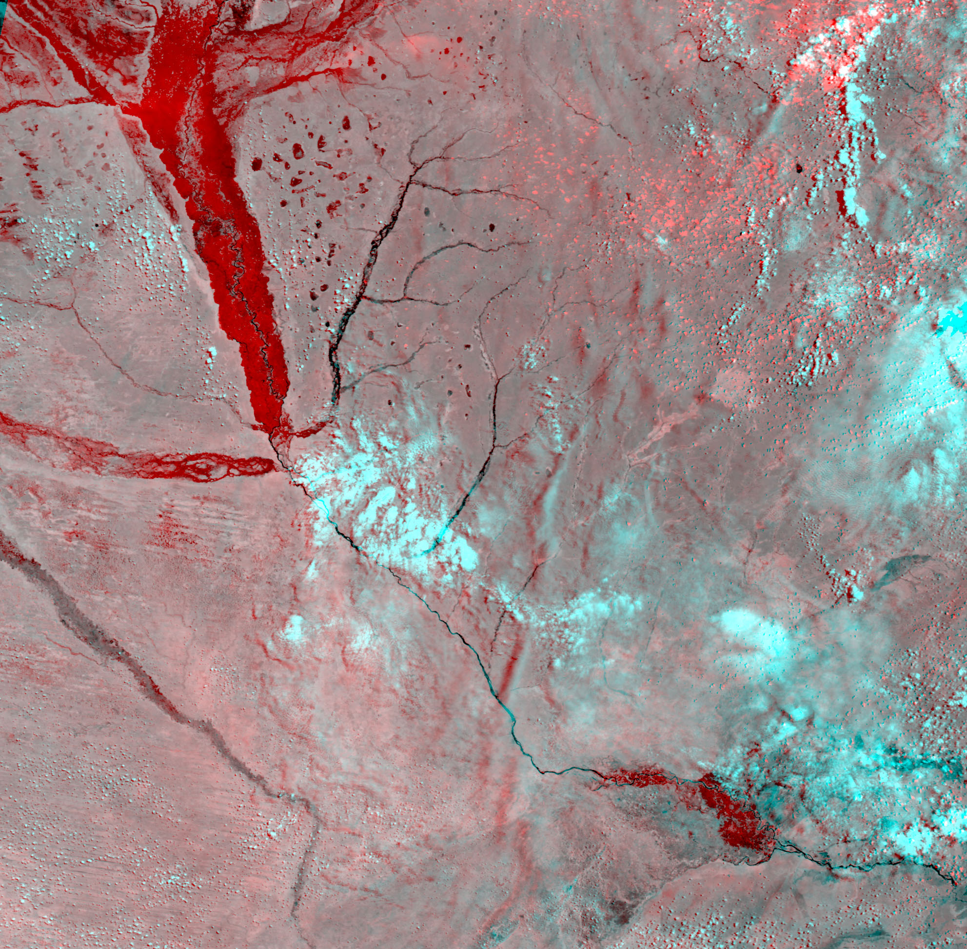 |
| Surface water changes
between Jan 9 and March 5, 2001. In this image the major changes
occur in the upper left where the Zambezi and its tributaries
have burst their banks below Lukulu south to Nangweshi, in the
Liuwa Plain and Luena Flats areas of Western Zambia. The Zambezi
then proceeds south in its channel through Sioma and Ngonye Falls
and enters the Caprivi Strip area of Namibia where another section
of new water is visible before the confluence with the Chobe
River in the lower right of the image. Once again the Zambezi
returns to its channel above Victoria Falls and Livingstone. |
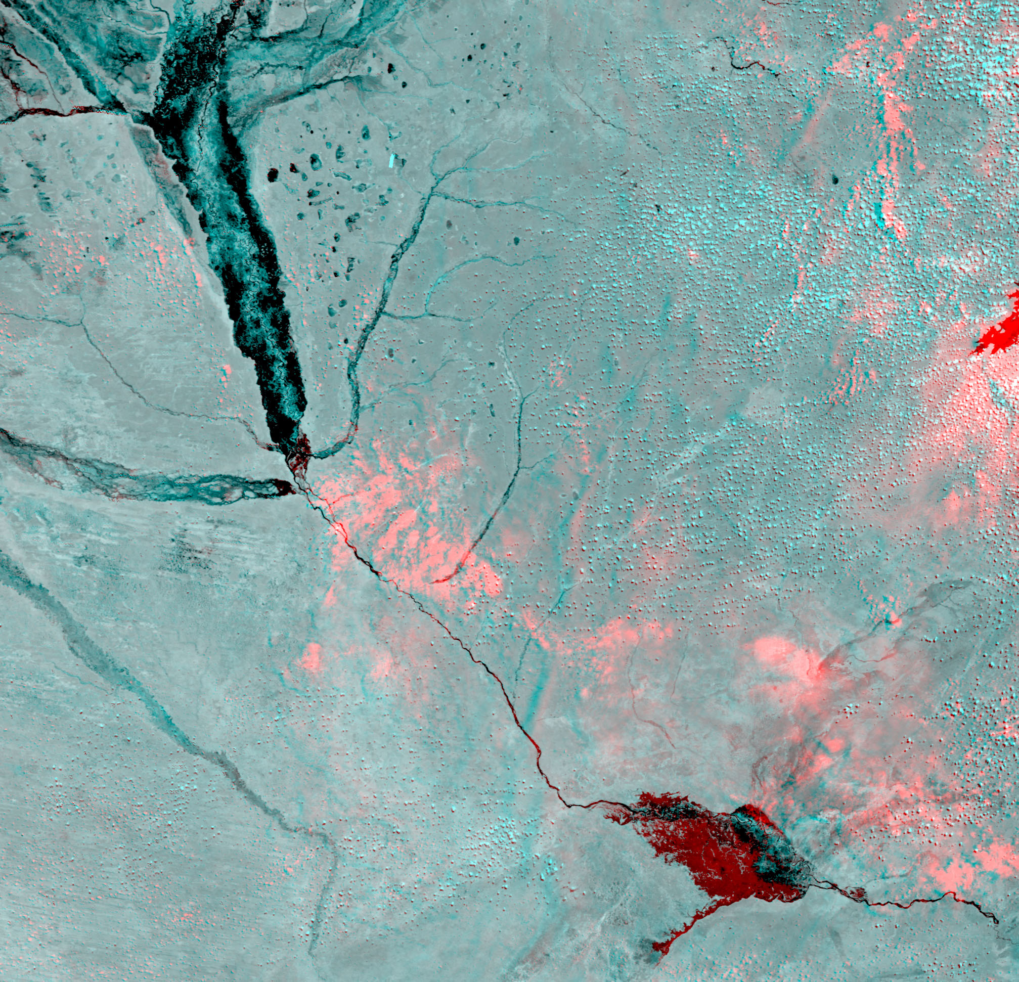 |
| Surface water changes
between March 5 and March 30, 2001. In the second image the most
prominent change is visible in the Caprivi Strip area, where
the flooded area has expanded. |
