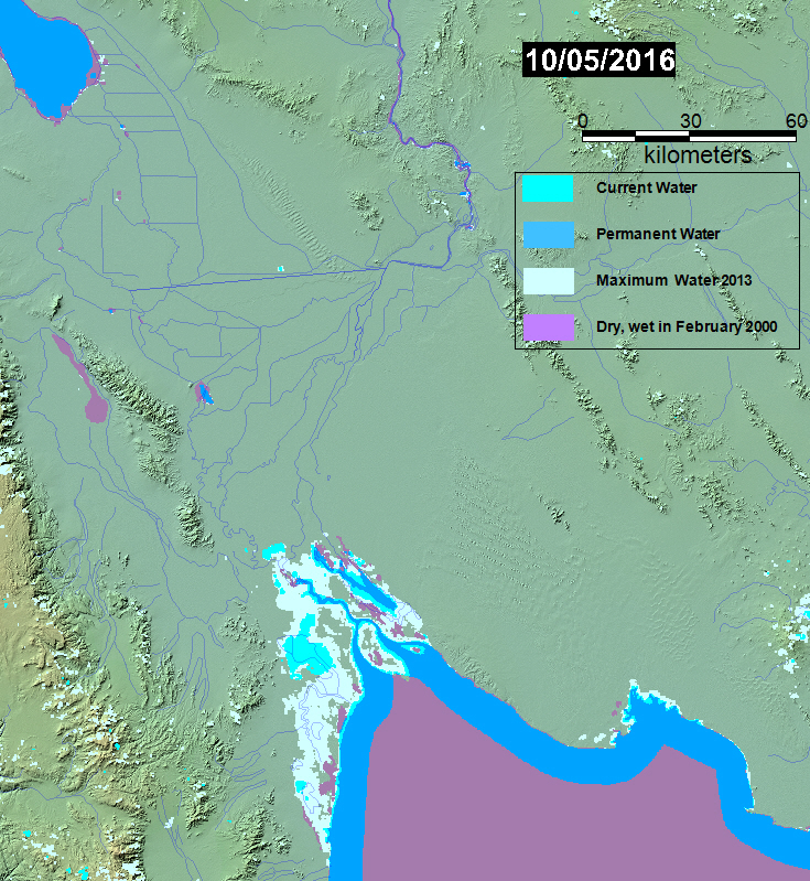
Water mapping is based on the two NASA-MODIS sensors, at 250 meters spatial resolution.
Map Legend: For 14 day period ending on map date: Large areas of purple are new dry land (formerly water in February, 2000, when the reference SWBD water database was obtained). At higher latitudes, such areas may be ice-covered water. Very small areas of purple are water mapped by SWBD, but are too small to be mappable by MODIS. Dark blue is "permanent" water, imaged now and also by SWBD in 2000. Bright blue is new water, as compared to SWBD. Light blue-gray is all previous flooding imaged and mapped by the Flood Observatory (now dry land). See also the Record Guide.