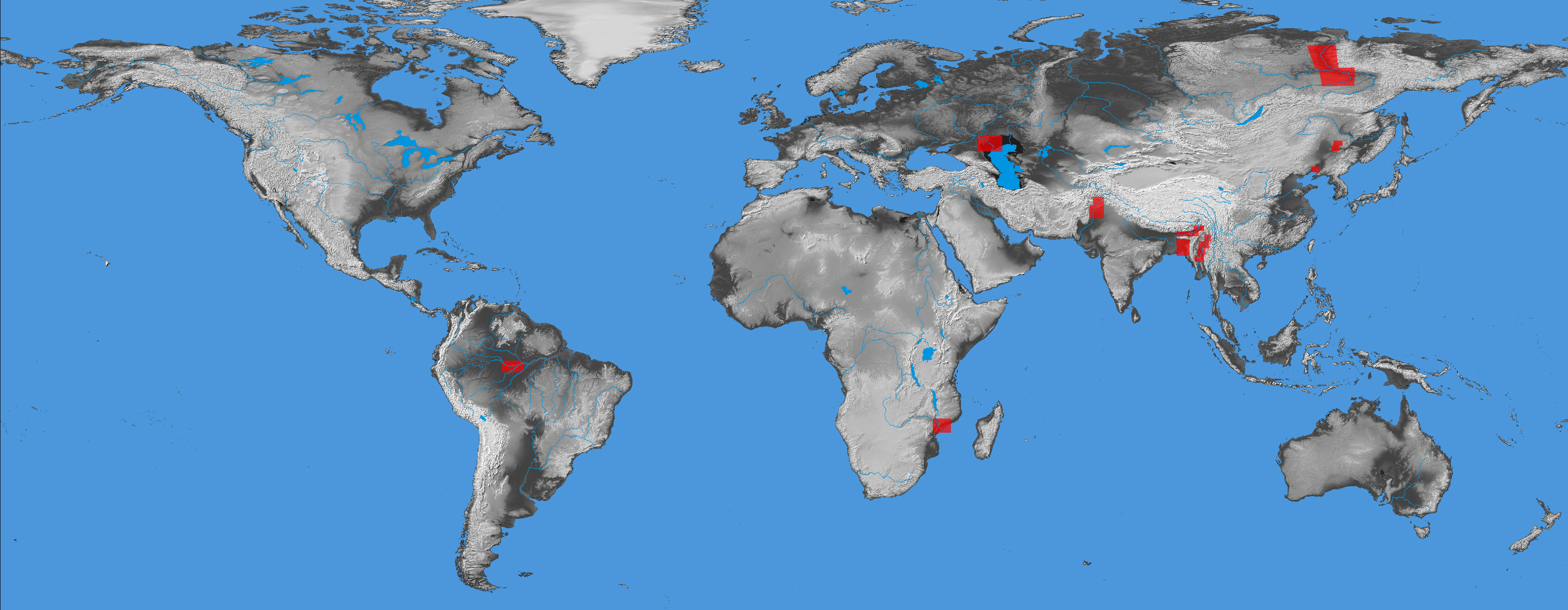
Access to Satellite River Discharge Measurements (clickable dots) and Critical Areas Map Displays and KMZ files (clickable brown rectangles)