 |
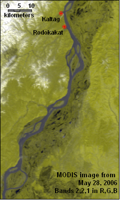
Alaska - Yukon River |
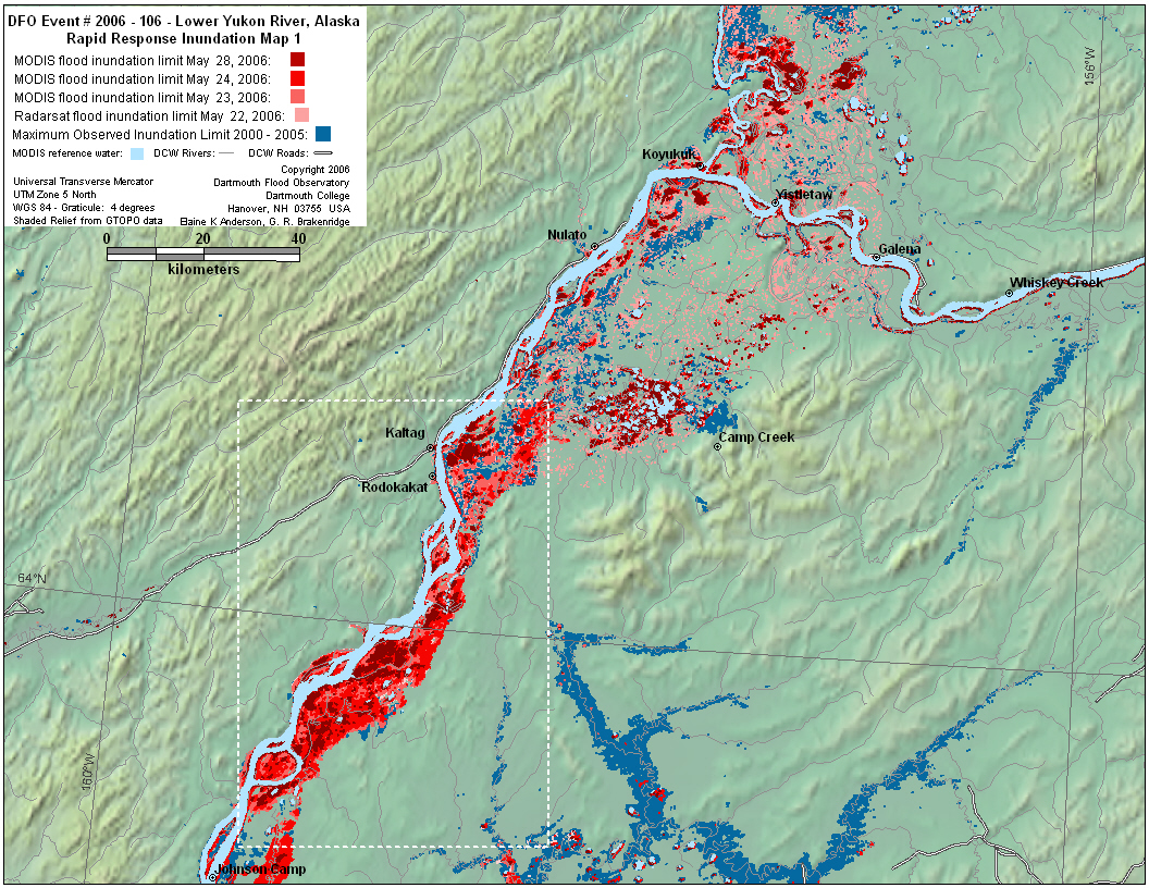
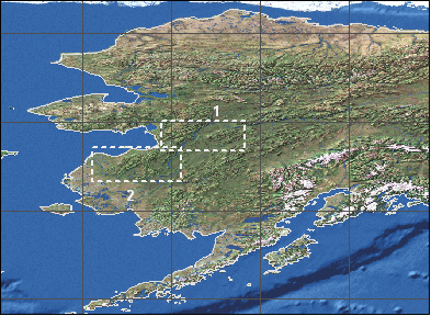
Above: Inundation map based on MODIS and Radarsat data, white box outlines location of MODIS image sequence shown below. Inundation polygons are layered with the oldest on the bottom and the most recent on the top.
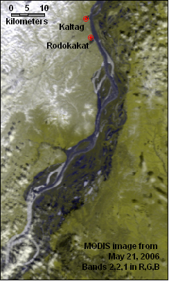
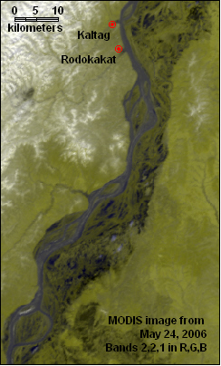
Below: MODIS sequence showing ice jams and flooding along the Yukon river below Kaltag from May 21 to May 28, 2006. Water is black or dark blue, vegetation is yellow-green, ice and snow are white, forest fire scars also appear black.
 |
 |
 |
 |
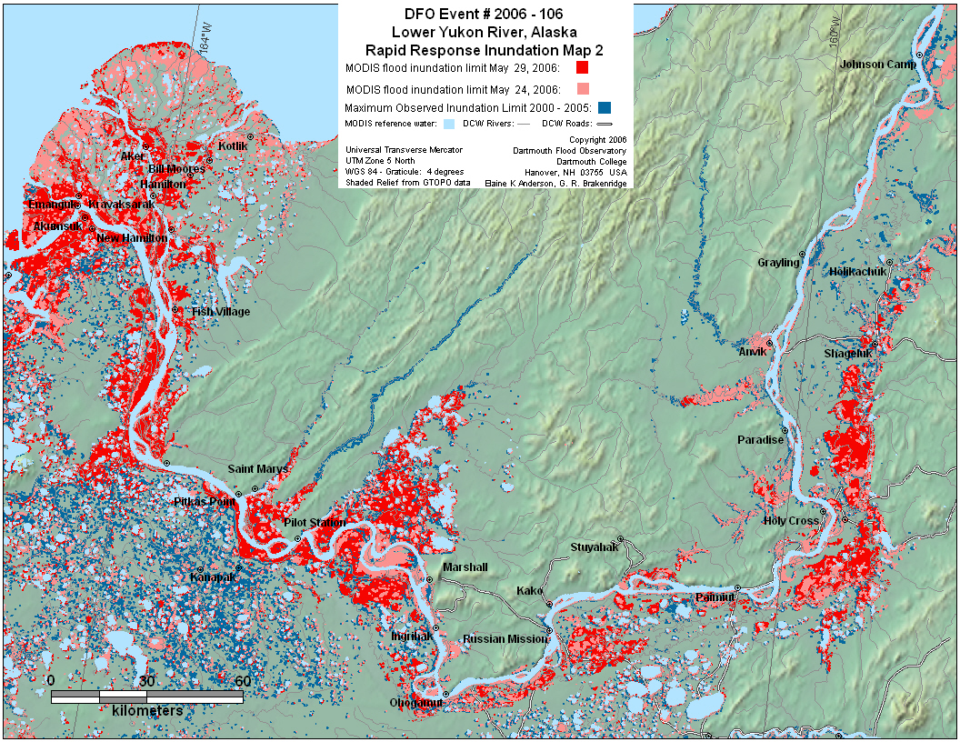
Above: Inundation map based on MODIS data. The older inundation polygons from May 24 (shown in pale red) are on top of the most recent polygons from May 29 (shown in red).
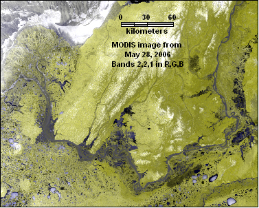
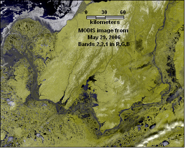
Below: MODIS sequence showing ice jams and flooding along the lower Yukon river and detla from May 24 to May 29, 2006. Water is black or dark blue, vegetation is yellow-green, ice and snow are white, forest fire scars also appear black.
 |
 |
 |