 |
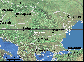
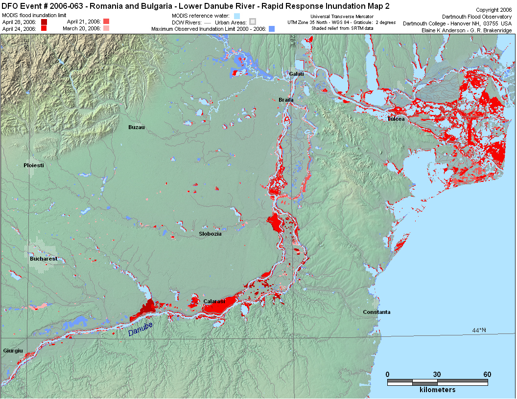
Romania and Bulgaria - Lower Danube River |


|
||
 |
||
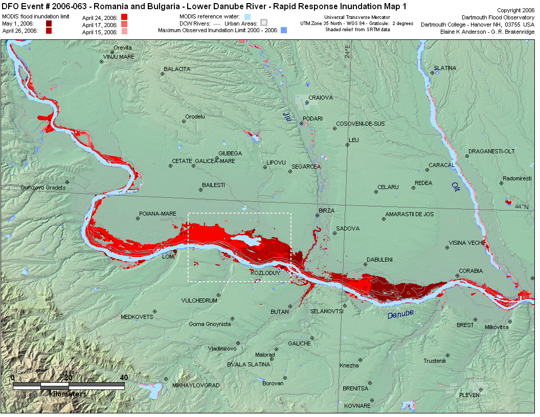
| Above: Rapid Response Inundation Map 1 - box outlines area shown in the ASTER image (below ). | ||
 |
||
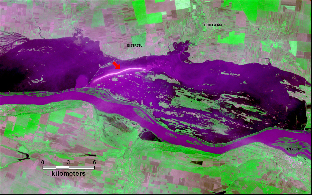
| Above: ASTER image from April 26, 2006 of flooding along the lower Danube in Romania and Bulgaria. The area of this ASTER image is outlined in a dotted box in Rapid Response Inundation Map 1 (above ASTER image). The villages of Bistretu and Goicea Mare can be seen with roads and agricultural fields. The red arrow marks a white line in the water that is probably caused by turbulant flow over a broken dike. Bands 2,3,1 in R,G,B. | ||
 |
Map preparation and image analysis: Elaine Anderson