 |
Detailed Locations: Rivers: Comments: Map Notes: |
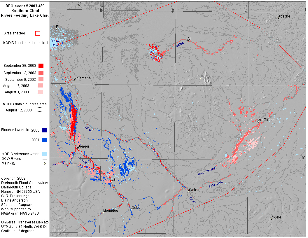
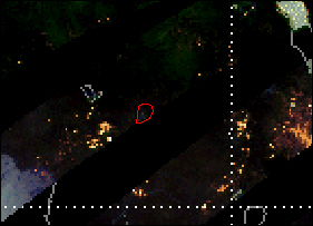
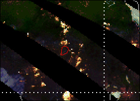
| Dead: no data | Displaced: no data | Damages: no data | Affected Region ( sq km): 439,900 | Severity Class* : 1 | Flood Magnitude**: 26.6 | MODIS flood inundation limit file names***: 20032721210aqChadBenu189Ma2.43 20032561210ChadBatha189Ma2.48 20032520935LChadS189M2.44 20032241205Chad189Ma2.47 20032150915SChad189M2.47 |
 |
 |
 |
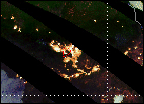
| July 31, 2003 | August 1, 2003 | August 2, 2003 |
 |
 |
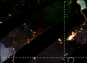 |
| August 3, 2003 | August 4, 2003 | August 6, 2003 |