 |
Detailed Locations:
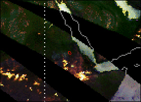
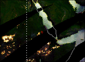
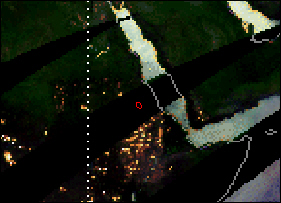
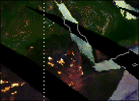
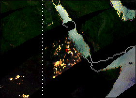
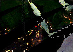
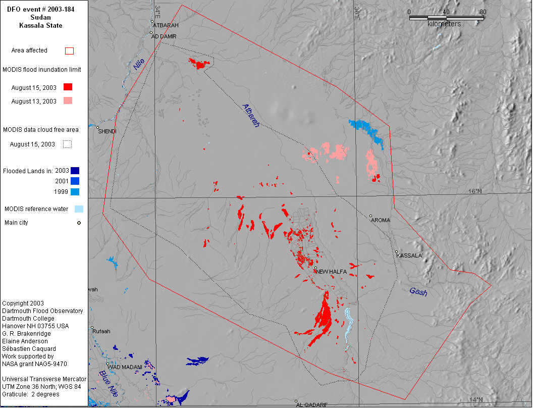
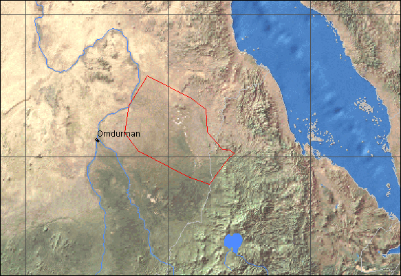
Northastern Sudan - Kassala state - Kassala city and surrounding
area, Hadalia.
Western Eritrea - Teseney area, Gash Barka.
Rivers: Gash, Atbara and Siteet
Comments:
Heavy rain in the Ethiopian mountains causes Gash river to overflow
and break flood barriers built in 1988. 680 houses destroyed. "Gash
river burst its banks and reached 2.7 metres on 29 July, the highest
level ever recorded in the region during the past 70 years".
79 percent of Kassala city flooded, 80 percent of population is
homeless (about 70,000 families). August 8 - Gash River remains
high and rain continues in the Ethiopian and Eritrean plateaus.
Water enters western part of Kassala again. August 18 - fresh flooding
reported in Kassala, more than 100 houses destroyed. August 21 -
life starting to return to normal in Kassala city.
Worst flooding in 40 years in Eritrea on Gash River; heavy losses
in crops, vegetation and agricultural facilities in Teseney.
|