 |
 |
1. DFO - Ten Degree Flood Map W100N40, W100N30
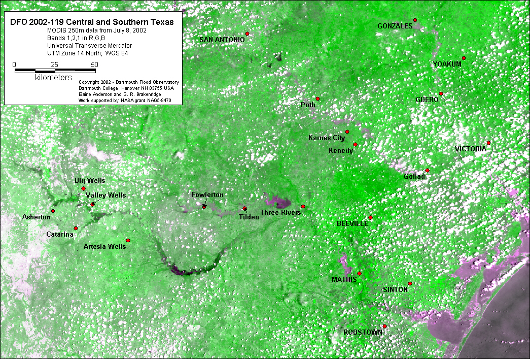
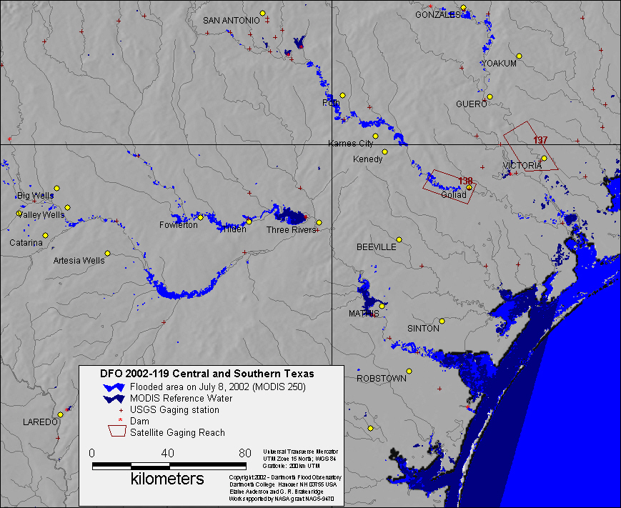
2. Inundation map, satellite images and classification example below.
|
||
|
||
|
||
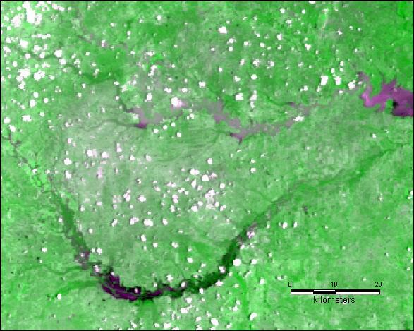
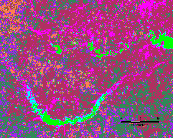
| Close up of MODIS 250 data of Nueces and Frio Rivers on left; example of unsupervised classification of floodwaters on right (green class is water). |
Map preparation and image analysis: Elaine Anderson