
1. DFO - Ten Degree Flood Maps W100N40, W90N40, W100N50, W90N50
 |
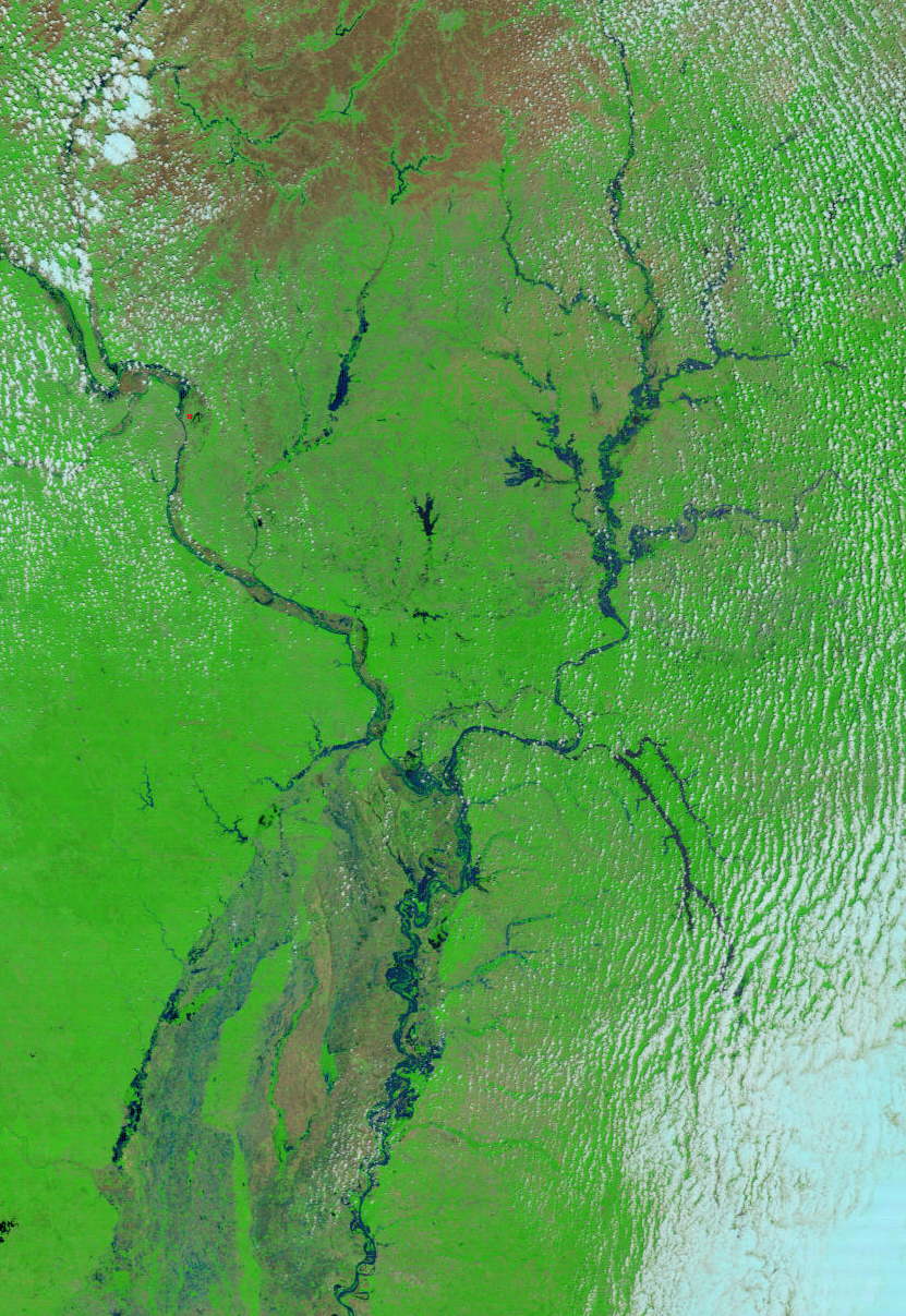
| Ungeocorrected Modis Rapid Response image from May 18, 2002 of the Wabash and Mississippi rivers. Bands 7,2,1. |
 |
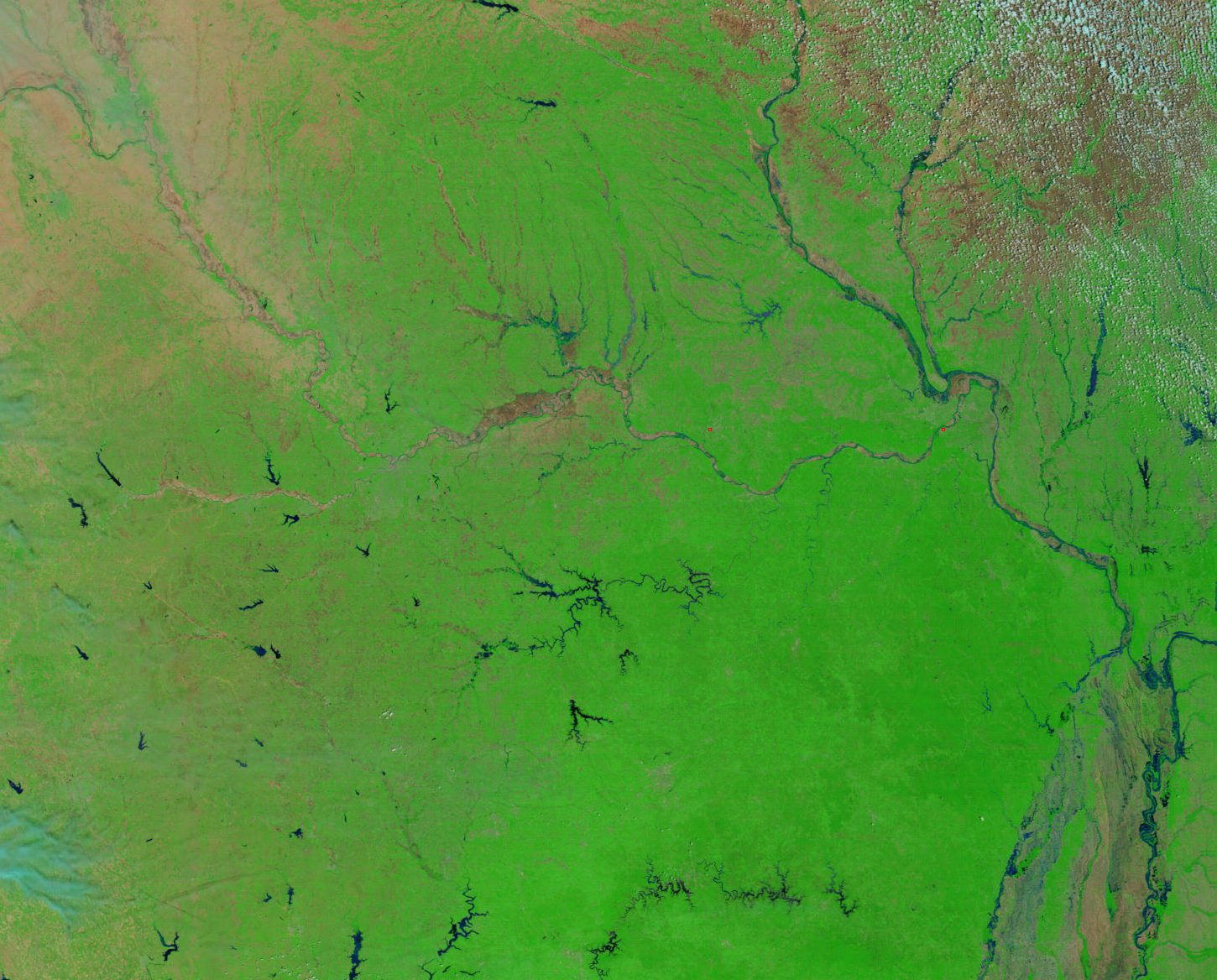
| Ungeocorrected Modis Rapid Response image from May 14, 2002 of the Missouri and Mississippi rivers. Bands 7,2,1. |