Index of DFO images or image maps:
1. DFO - Ten Degree Flood Map E140S20
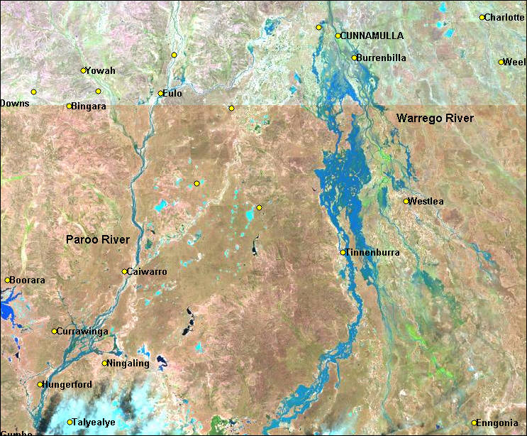
2. Landsat Browse image of theWarrego River on Nov 29, 2000
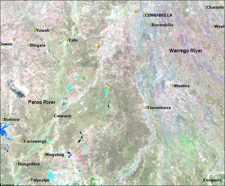
3. Landsat Browse image of theWarrego River on Sep 26, 2000
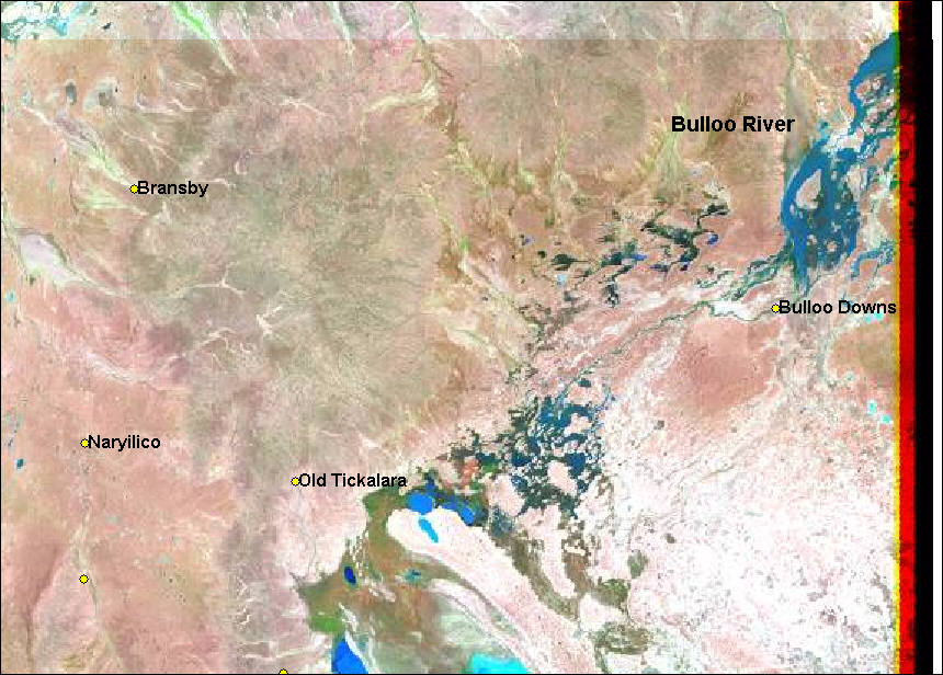
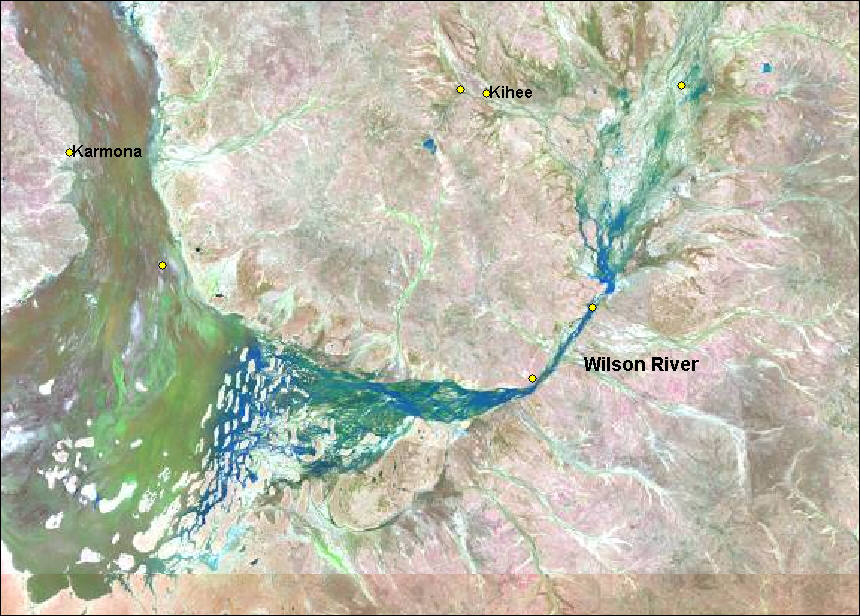
4. Landsat Browse image of the Bulloo River on Nov 27, 2000
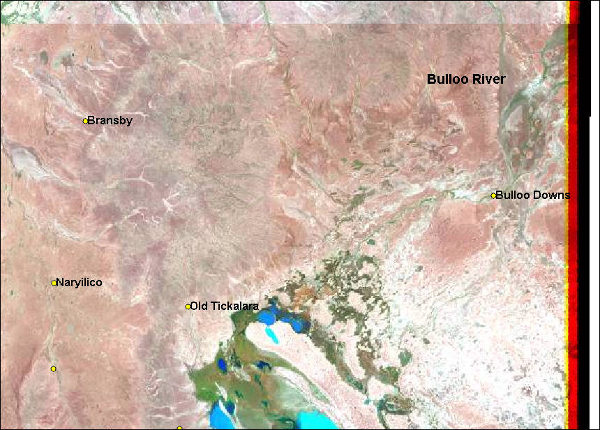
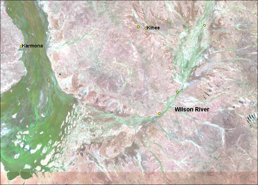
5. Landsat Browse image of the Bulloo River on Oct 26, 2000