| 03/02/00 | 03/03/00 | 03/04/00 | 03/05/00 | 03/06/00 | 03/07/00 | 03/08/00 |
 |
 |
 |
 |
 |
 |
 |
| 03/09/00 | 03/10/00 | 03/11/00 | 03/12/00 | 03/13/00 | 03/14/00 | 03/15/00 |
 |
 |
 |
 |
 |
 |
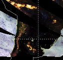 |
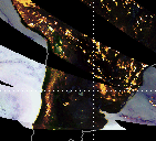
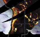
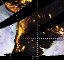
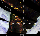
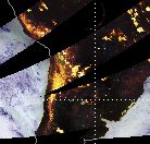
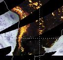
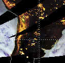
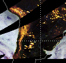
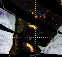
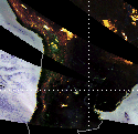
Northern Argentina
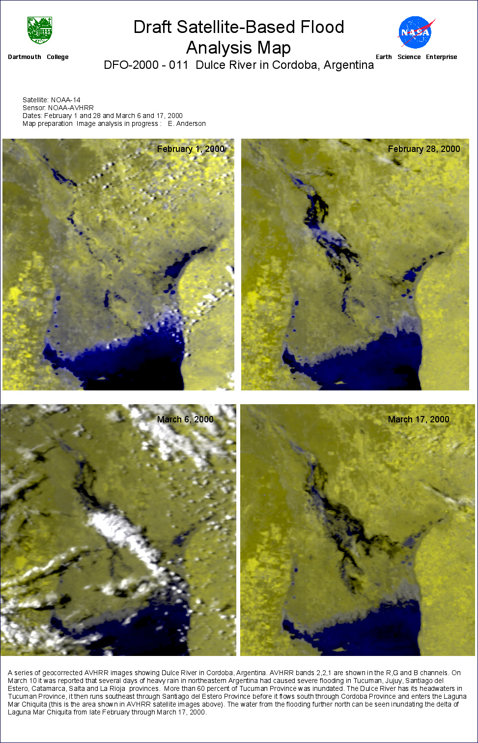
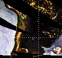
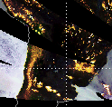
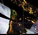
(1) 14 Day Precipitation History
TRMM TMI Quick Look Images, subsetted at Dartmouth from global mosaics prepared by Chris Kidd, NASA-Goddard Space Flight Center
Comments:
TRMM TMI data show heavy rain in northern Argentina on March 8 and 9, then smaller areas of rain in the same area on the 11th through the 13th. On March 10 the AP reported that Tucuman Province, in the foothills of the Andes, was 60 percent under water. Other provinces affected by flooding included Jujuy, Santiago del Estero, Catamarca, Salta and La Rioja.
In these images:
Rainfall and snowfall: yellow and white areas (yellowish white is highest intensity precipitation)
Oceans: light blue (low water vapour) to dark blue (high water vapour)
More information: http://trmm.gsfc.nasa.gov/data/quicklook/quick_looks.html
| 03/02/00 | 03/03/00 | 03/04/00 | 03/05/00 | 03/06/00 | 03/07/00 | 03/08/00 |
| |
|
|
|
|
|
|
| 03/09/00 | 03/10/00 | 03/11/00 | 03/12/00 | 03/13/00 | 03/14/00 | 03/15/00 |
| |
|
|
|
|
|
|