|
|
|
|
|
|
Flood
Data Archive |
|
|
|
|
|
|
|
|
|
|
|
|
|
|
|
|
|
|
|
|
|
|
|
|
|
|
|
|
|
|
|
|
|
|
|
|
|
G. R. Brakenridge and
Chris Farmer |
|
|
Dept, Geography,
Dartmouth College |
|
|
Hanover, NH 03755 USA |
|
|
|
Register # |
Nation |
Other |
Nations |
Affected |
Locations |
Began |
Ended |
Dead |
Displaced |
Main cause |
Severity * |
Affected sq km |
Magnitude |
|
|
|
3428 |
Australia |
|
|
|
NE
Queensland, Northern Northern Territory |
28-Dec-08 |
12-Jan-09 |
|
|
Tropical
Storm Charlotte; Monsoon rains |
1.5 |
776800 |
7.3 |
|
|
|
|
|
|
|
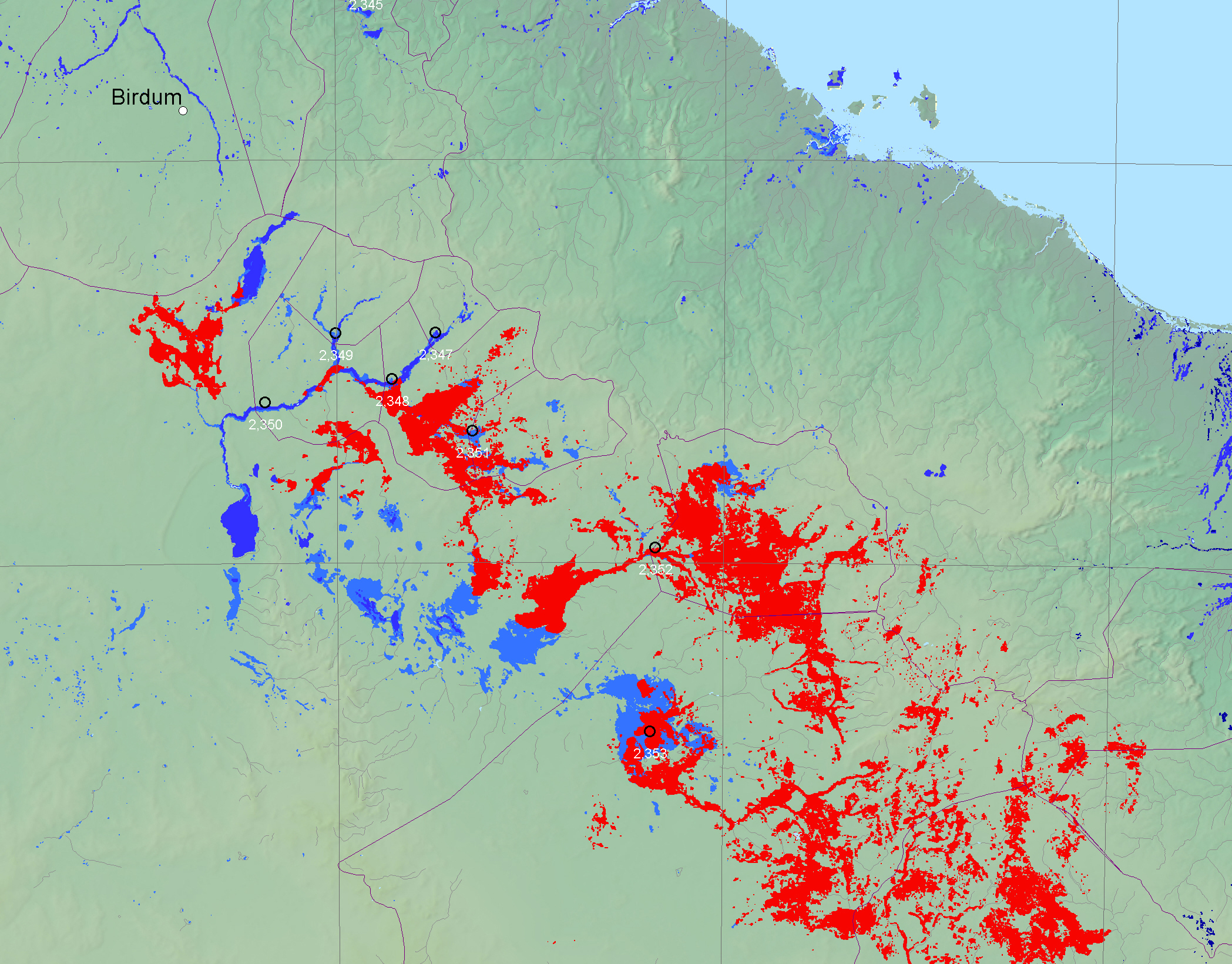
Inundation Maps: |
|
|
|
|
|
|
|
|
|
|
|
|
|
|
|
|
|
|
|
|
|
|
|
|
|
|
|
|
|
|
|
|
|
|
|
|
|
|
|
|
|
|
|
|
|
|
|
|
|
|
|
|
|
|
|
|
|
|
|
|
|
|
|
|
|
|
|
|
|
|
|
|
|
|
|
|
|
|
|
|
|
|
|
|
|
|
|
|
|
|
|
|
|
|
|
|
|
|
|
|
|
|
|
|
|
|
|
|
|
|
|
|
Regional
View from the Dynamic Atlas |
|
|
(scroll to find area of interest) |
|
|
|
|
|
|
Polygon files available
by request: |
|
|
|
|
|
MapInfo export format inundation
polygon files (.MID and .MIF pairs) |
|
|
Jan. 7, 2009 |
|
(contact Flood Observatory staff) |
|
|
|
|
|
ESRI Shapefile polygon files (set of
four: .SHP, .SHA, .DBF and .PRJ) |
|
|
Jan. 7, 2009 |
|
(contact Flood Observatory staff) |
|
|
|
GoogleEarth files (.KMZ) |
|
|
Jan. 7, 2009 |
|
(contact Flood Observatory staff) |
|
|
|
|
|
|
|
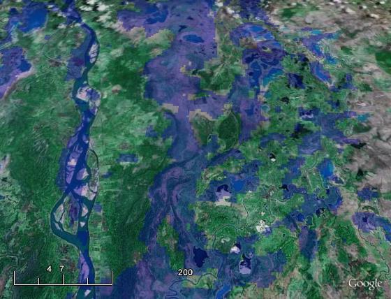
Sample GoogleEarth View
of DFO inundation polygons in KMZ format |
|
|
(n.b. this picture is only a sample
and is from a previous flood event, approx. 50% transparency) |
|
|
|
|
|
|
|
|
|
|
|
|
|
|
|
|
|
|
|
|
|
|
|
|
|
|
|
|
|
|
|
|
|
|
|
|
|
|
|
|
|
|
|
|
|
|
|
|
|
|
|
|
|
|
|
|
DFO Flood Archive |
|
|
|
|
|
|
|
|
|
|
|
|
|
|
|
|
|
|
|
|
|
|
|
|
|
|
|
|
|
|
|
|
|
|