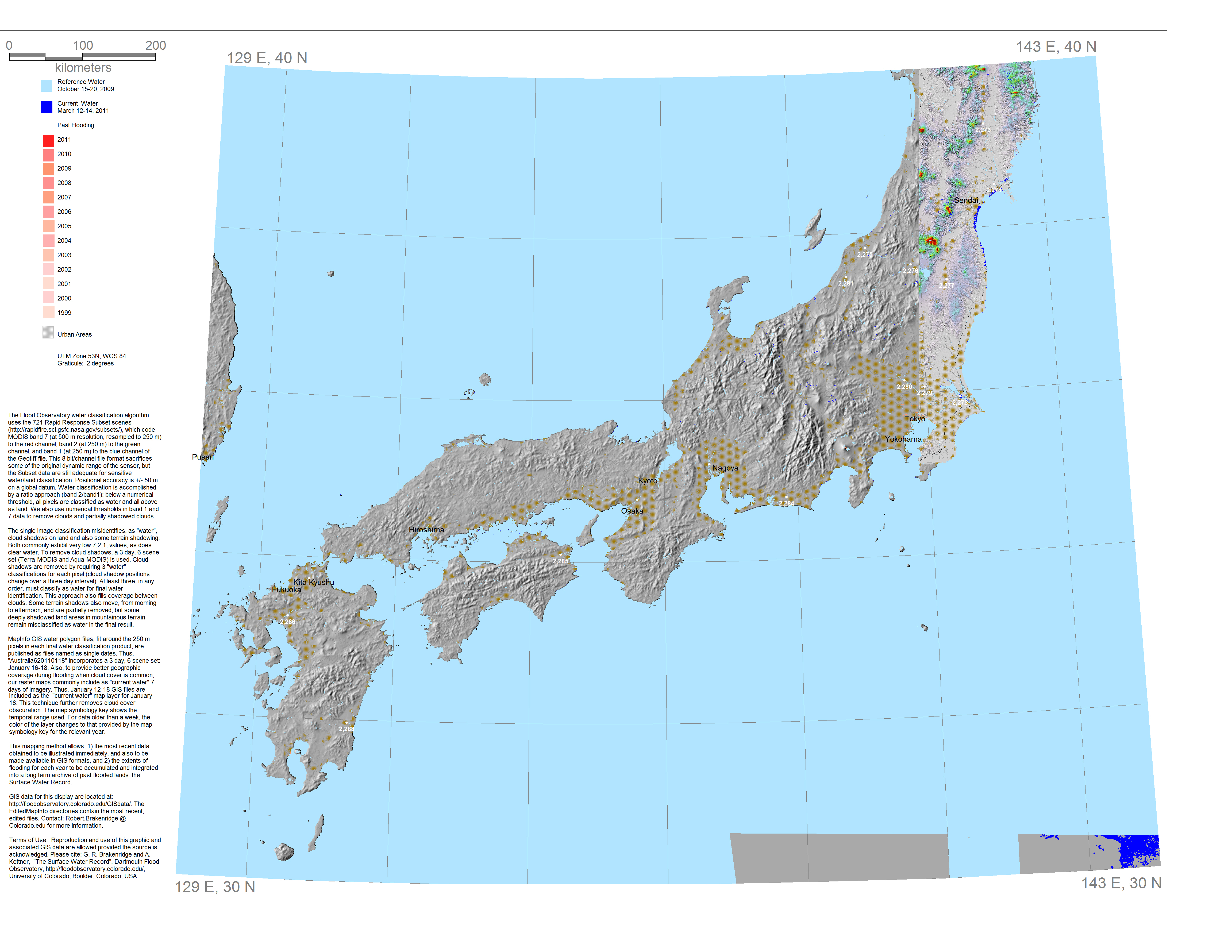
The Surface Water Record E130N40
Dark Blue (top layer) is the most recent water imaged and mapped.
Light Blue is a reference surface water (sensor and date provided).
Medium (younger) and lighter (older) reds are previously mapped flooding, by year.
Click on the white dots for River Watch satellite-based estimated river discharge, 2002-present.
Rapid Response Inundation Maps for events within E130N40, if available
Powerpoint record of this display
GIS data for this display are located at: http://floodobservatory.colorado.edu/GISdata/. See http://rapidfire.sci.gsfc.nasa.gov/subsets/ for geographic location of the MODIS 250 m 721 image subsets used to create the surface water extent files. The GISdata directory is organized to match these subsets. MODIS data are from NASA/GSFC, MODIS Rapid Response. See this link for brief technical description of our water mapping procedure.
Please cite: G. R. Brakenridge and A. Kettner, Dartmouth Flood Observatory, University of Colorado, USA