Australia Surface Water Record (DRAFT)
Drought Version. Move to Flood Version
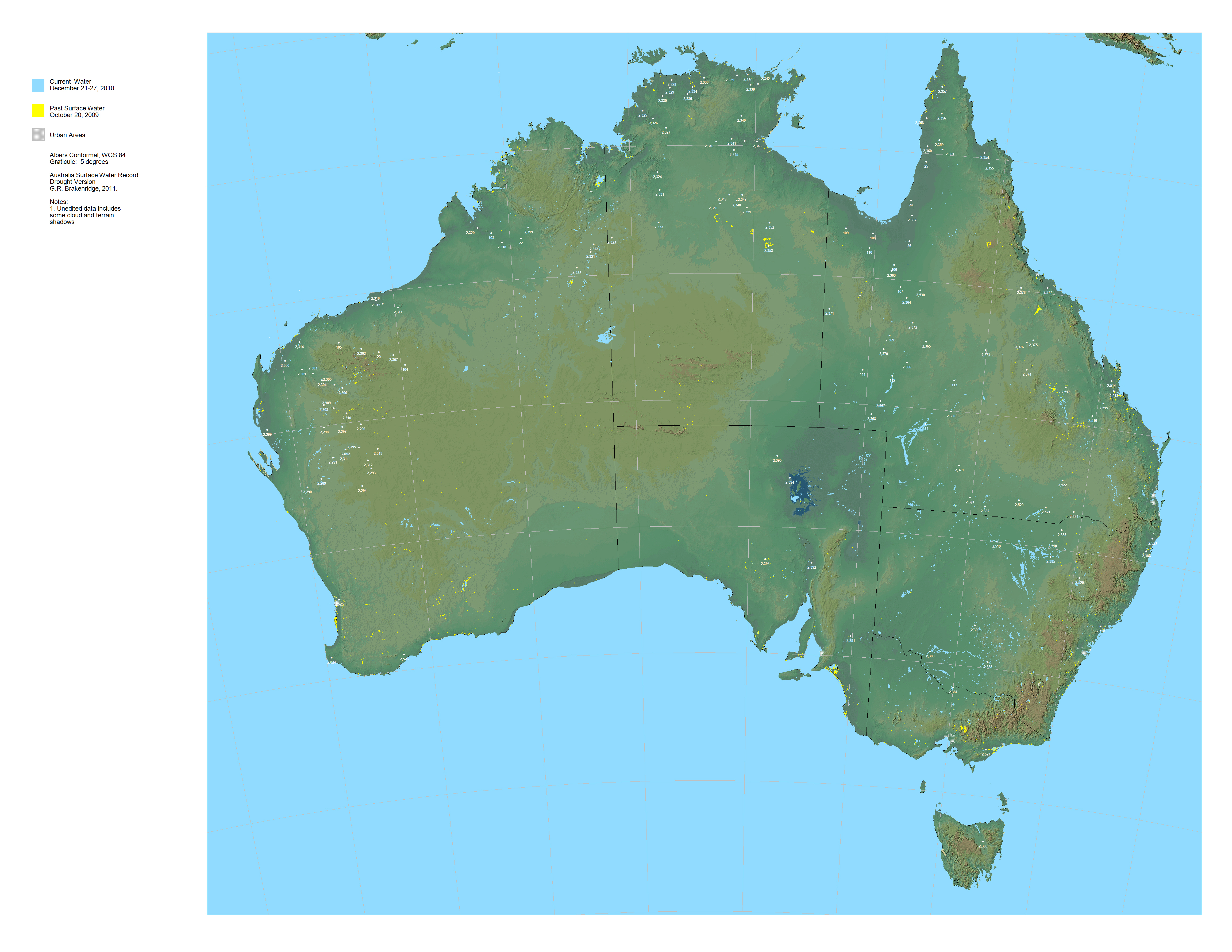
Light Blue is open surface water (on date provided in legend)).
Yellow was formerly water (on date provided in legend)..
Click on the white dots for River Watch satellite-based estimated river discharge, 2002-present.
Powerpoint record of this display
GIS data for this display is located at: http://floodobservatory.colorado.edu/GISdata/ in the Australia1-Australia6 and the Older_Data folders.The display can also be downloaded (right click) as a large jpg. file, and read into most GIS software by marking and entering the corner latitude and longitude coordinates and noting the map projection and datum.
Please cite: "G. R. Brakenridge, 2011, Australia Surface Water Record, Drought Version, http://floodobservatory.colorado.edu/hydrography/Australia.html"