
LANCE MODIS-Based Automated Surface Water Mapping
A NASA-supported test of feasibility: 44 Maps Implemented to date (March-18-2011)
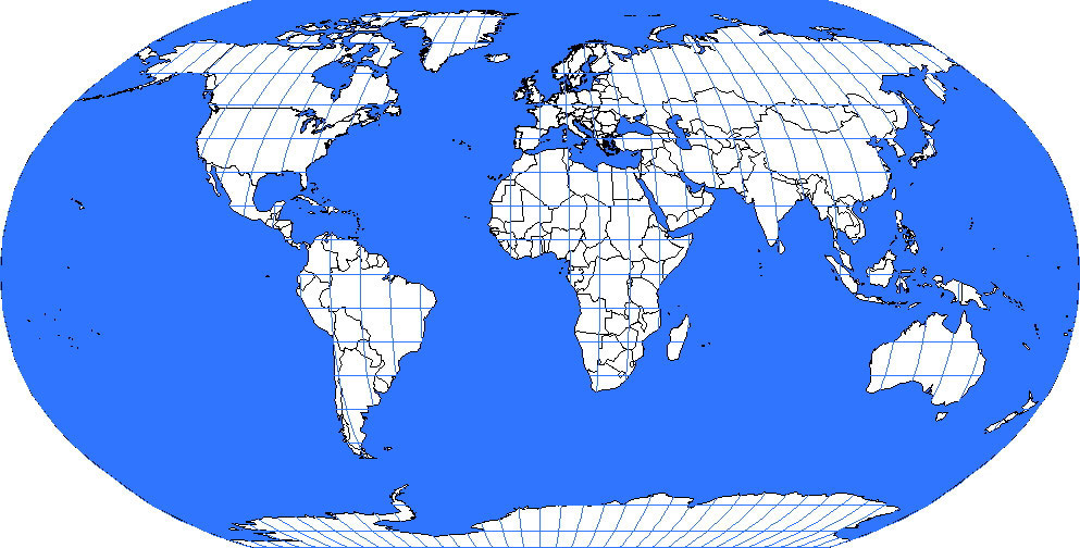
Click on the appropriate 10 degree display sheet (Some tiles are not working yet, but we cover now ~30% of the world).
Explanation (Under Construction)