
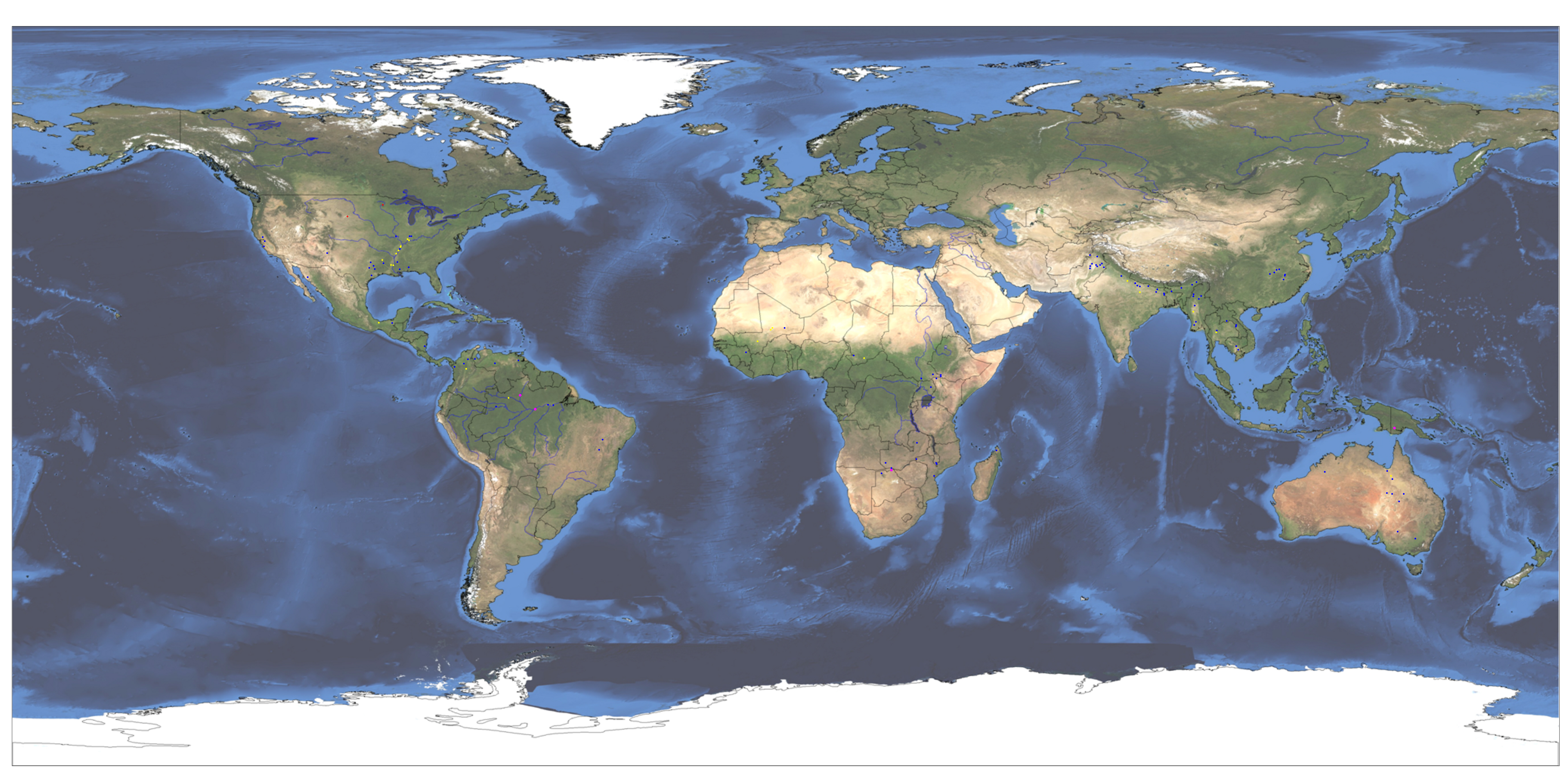
Satellite River Discharge Measurements
This display uses microwave (37 GHz) NASA/Japanese Space Agency TRMM data to estimate discharge at an increasing array of river measurement sites. It replaces an earlier "Version 1, RiverWatch" system based on NASA/Japanese Space Agency AMSR-E data. That sensor ceased operation October 4, 2011.
The records acessible here extend back to January 1, 2003 (from ASMR-E). NASA GPM and other microwave data will also be incorporated when they become available. Many more sites will be added. All have been calibrated to discharge units using a global hydrological model.
Click on the dots: satellite gauging sites. Yellow: low flow (<50 % mean daily runoff for this date); Blue: normal flow; Purple: moderate flooding (>1.33 yr recurrence); Red, major flooding (> 5 yr recurrence).
See summary table of site locations and current flow status.
Crosses: ground gauging stations. Yellow: low flow. Red: major flooding (river above flood stage).
Citation: Brakenridge, G. R., Cohen, S., Kettner, A.J., De Groeve, T., and Nghiem, S. V., 2012, Online Publication, "Satellite river discharge measurements", http://floodobservatory.colorado.edu/SiteDisplays/IndexMap.htm.