


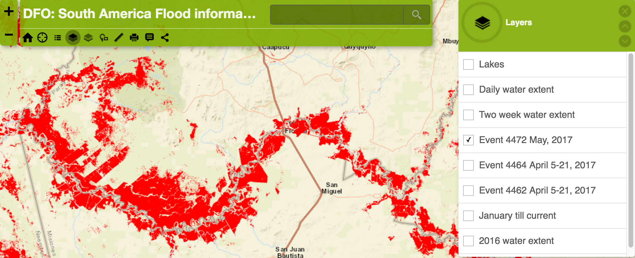
Above: Red, shows May 9, 2017 Sentinel 1 SAR only.
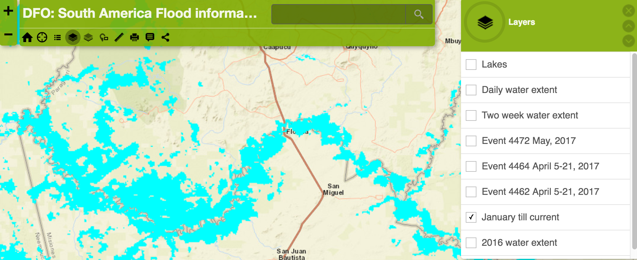
Above: Blue, shows MODIS surface water, January 2017 through mid-May.
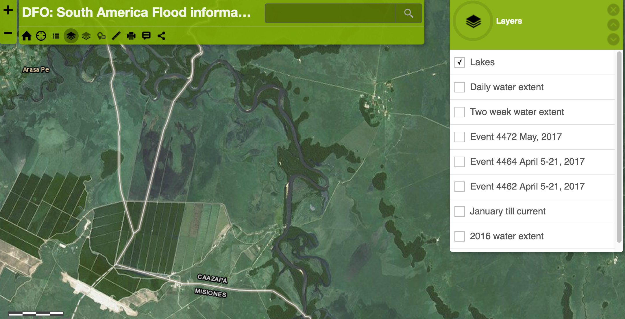
Above: The WMS image and label base map (non-flooding conditions were imaged)
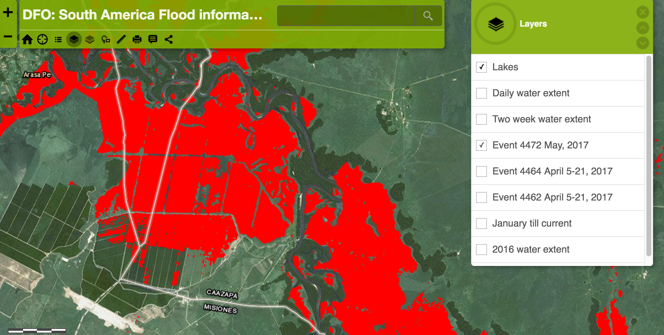
Above: The Sentinel SAR-based May 9, 2017 flood map of this area